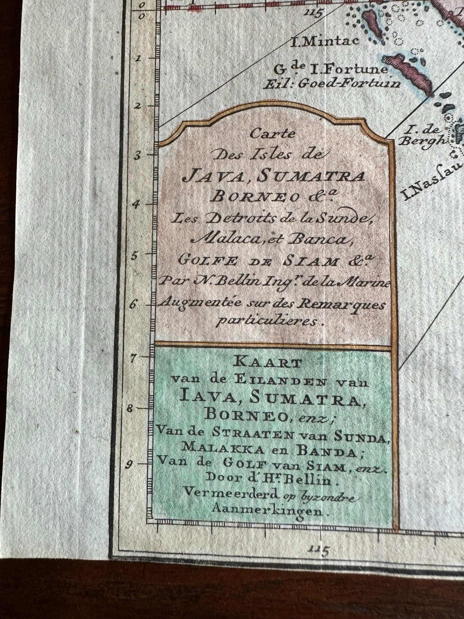
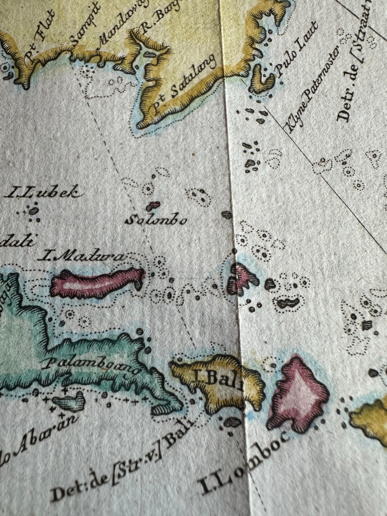
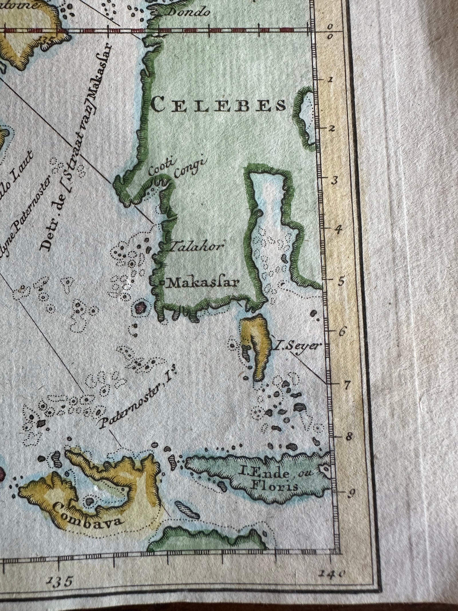
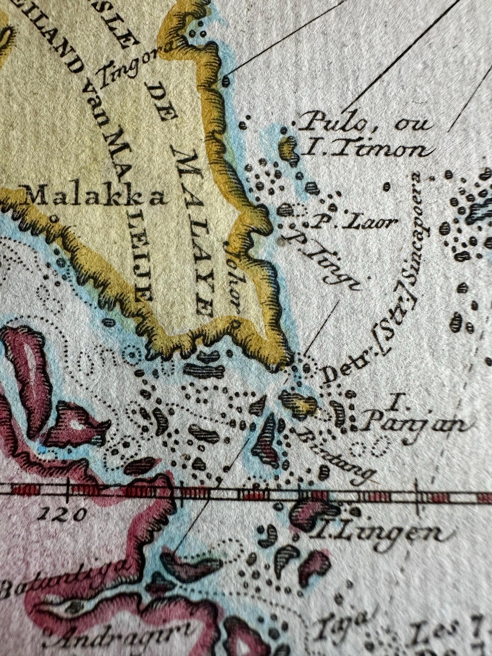
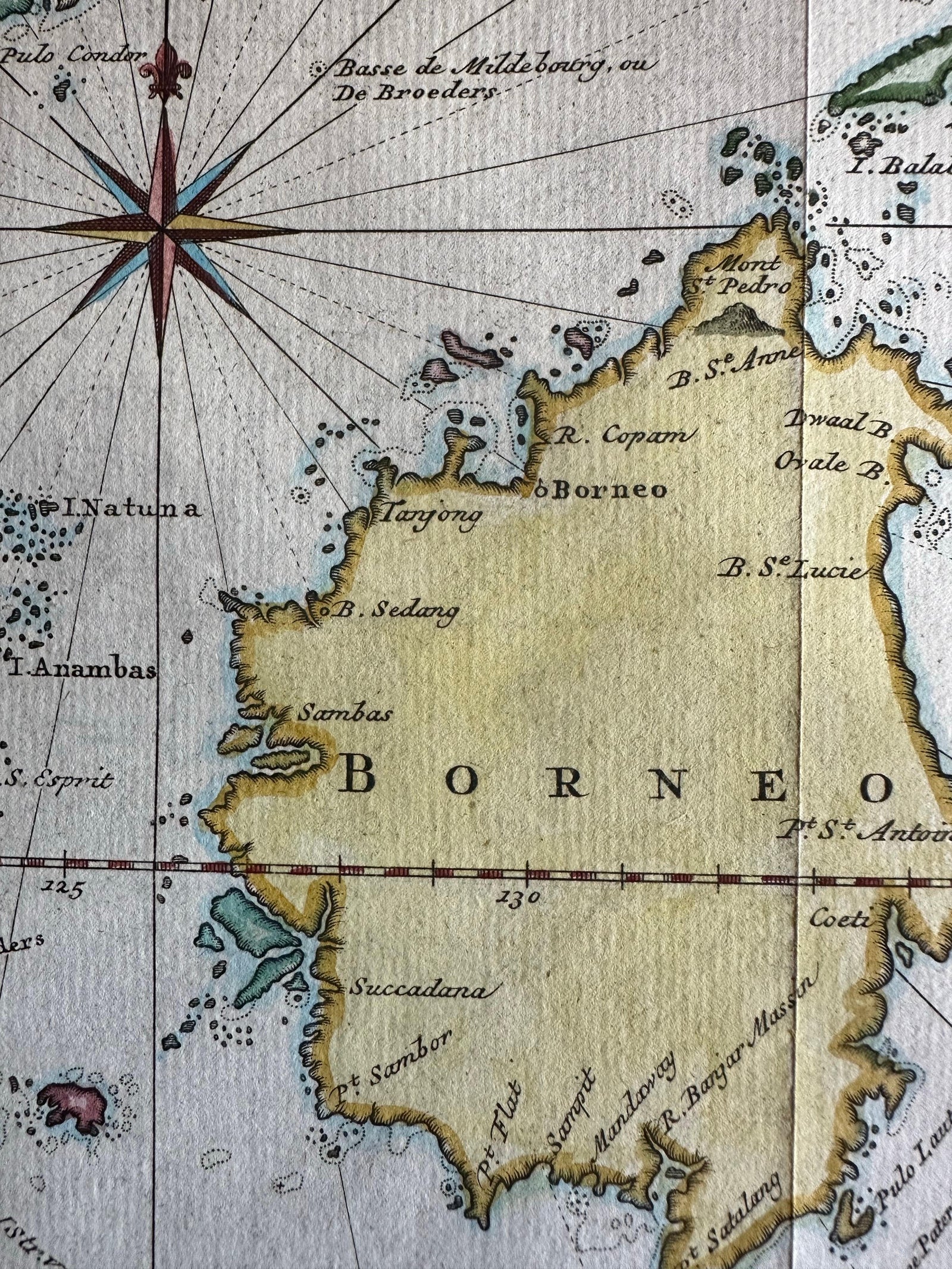
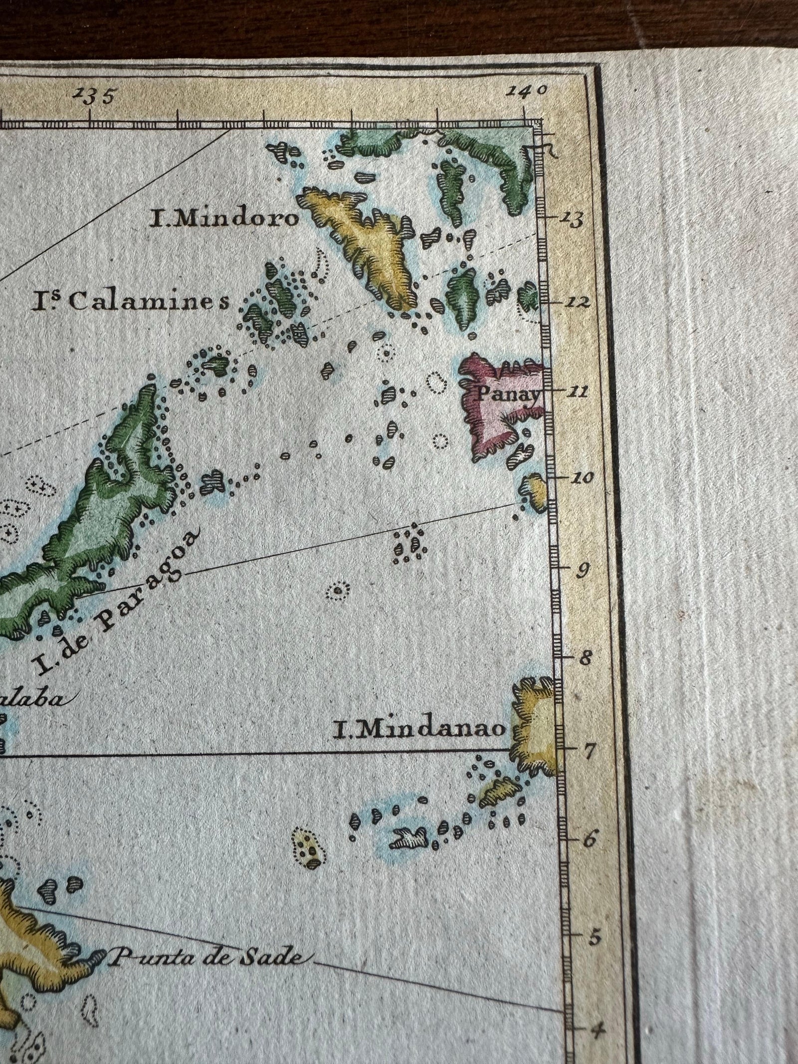
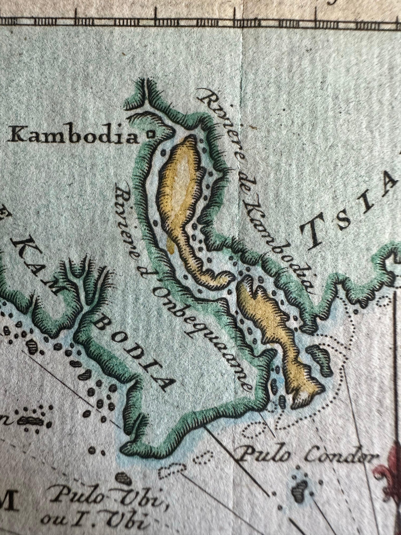
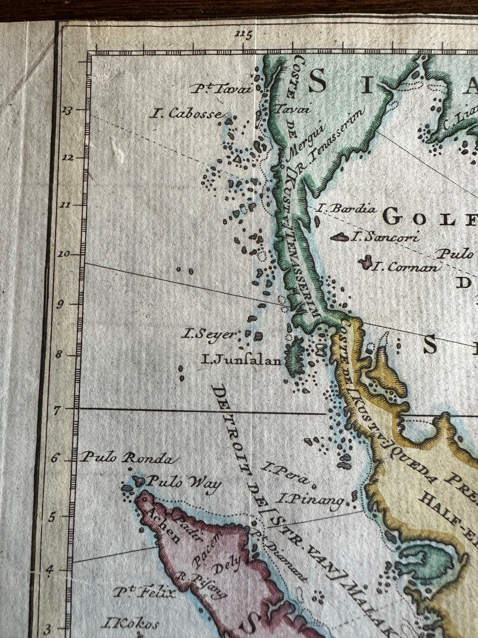
Close-ups
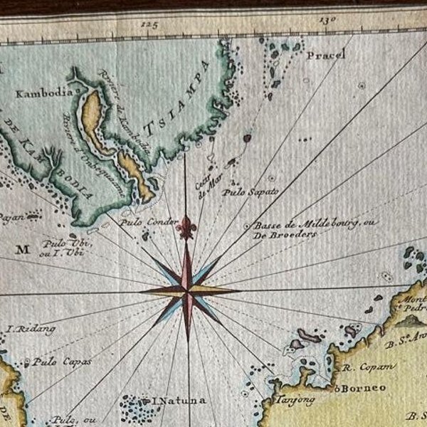
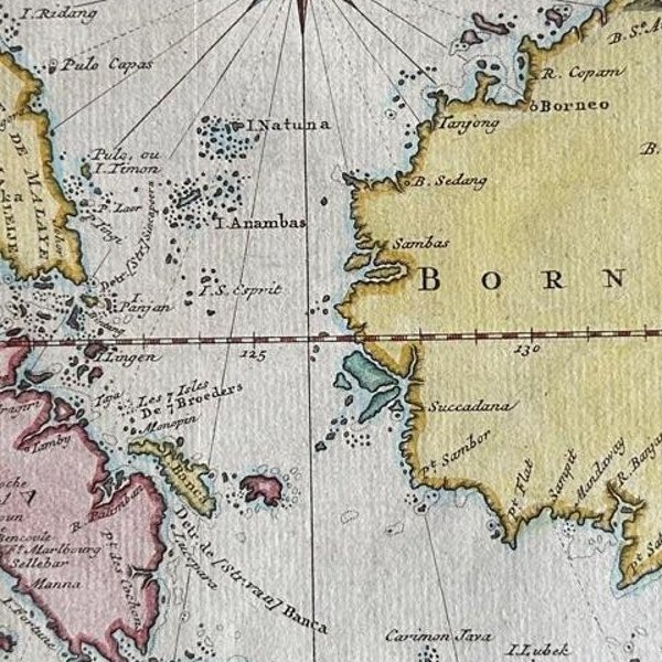
Framed and on the wall
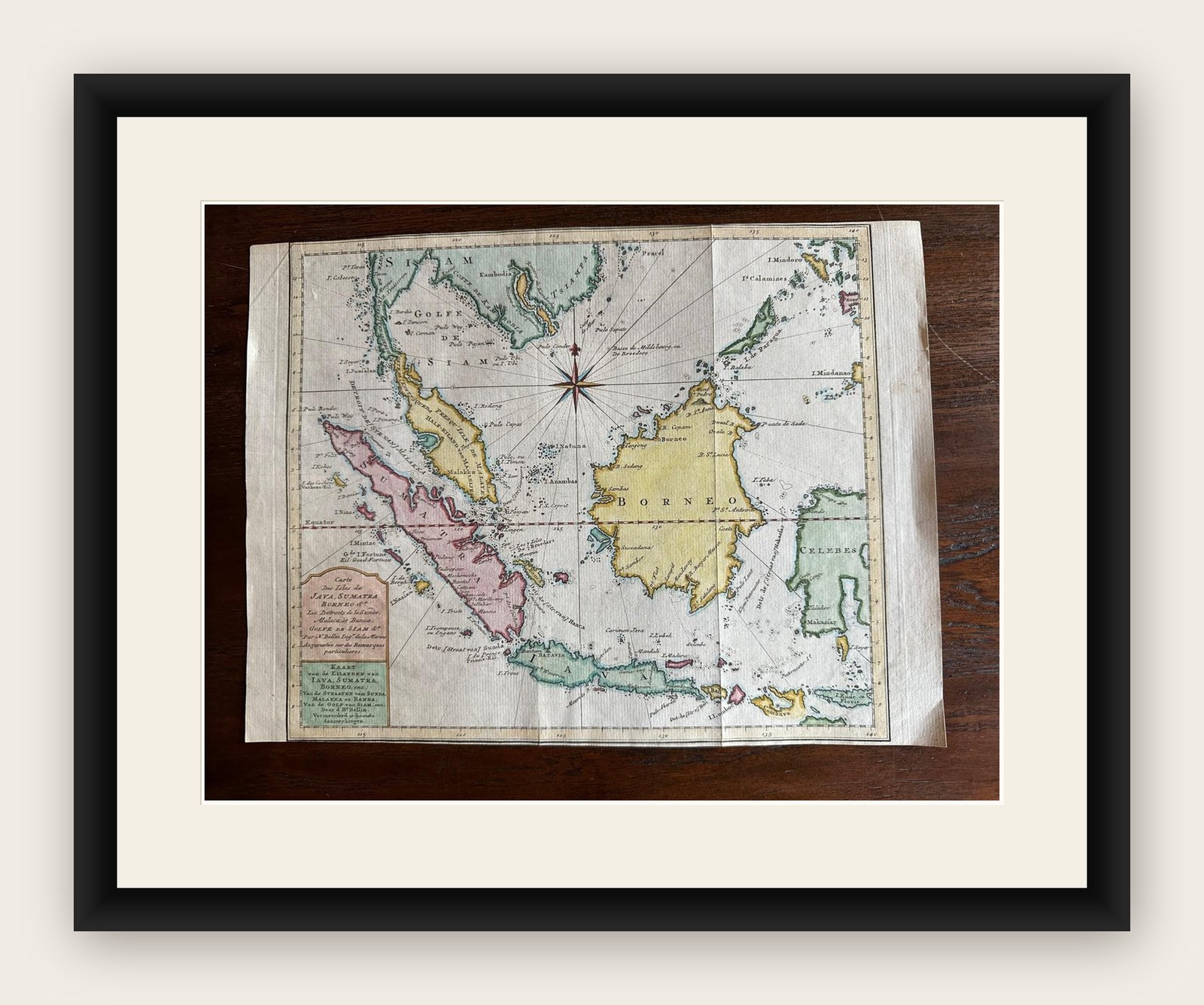


Frame and rooms are illustrations of how the print could look, drawn to its real size; it is sold unframed unless the description says otherwise.
Maps and Sea Charts
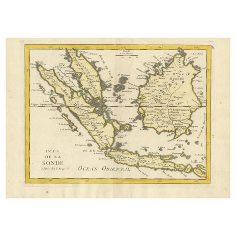
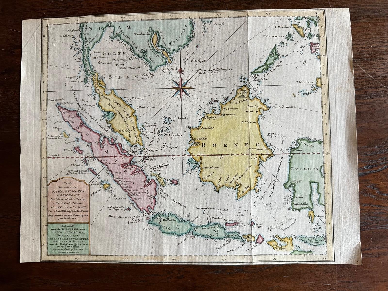
Original Map of the East Indies Including Sumatra, Java, Borneo & Malaysia, 1755
Borneo is now Kalimantan.
€350
$390 · £295
Original print, not a reproduction
Ships worldwide from the Netherlands, insured and tracked. 14-day returns.
- Date
- 1755
- Sheet size
- 9.6 × 13 in (24.5 × 33 cm)
- Technique
- Engraved
- Condition
- Good. Good, with general age toning. Image slightly trimmed; minor handling wear and a few small spots. Original vertical fold as issued; blank verso. Visible platemark.
- Island
- Java, Sumatra, Borneo
- Place names
- Borneo is now Kalimantan
- Collection
- Maps and Sea Charts
- Period
- The Company, 1700 to 1799
- Stock no.
- f_26777592
- Color
- Hand colored
What the condition grades mean
- Excellent
- Bright and clean, with no faults worth mentioning.
- Very good
- Only light signs of age, such as faint toning.
- Good
- Normal signs of age for a sheet of this period: toning, some foxing, small marks or neat old repairs.
- Fair
- Clear faults such as staining, tears or repairs, priced to match.
Every fault we see is written in the condition note, and the whole sheet is shown uncropped in the photos.
TitlEast Indies map, Java, Sumatra, Borneo & Malay Peninsula, c.1755
Attractive 18th-century map of the East Indies centered on Borneo and the Malay world, showing Sumatra, Java, the Malay Peninsula, Celebes (Sulawesi) and adjoining seas threaded with rhumb lines from a bold eight-point compass rose. Engraved by the noted Dutch draughtsman Jakob (J.) van der Schley for the Dutch edition of Antoine-François Prévost’s celebrated travel compendium, Histoire générale des voyages (Algemeene Geschiedenis der Reizen). The bilingual cartouche, French and Dutch, reflects the plate’s origin for a Dutch readership fascinated by VOC trade routes and the spice islands in the mid-18th century.
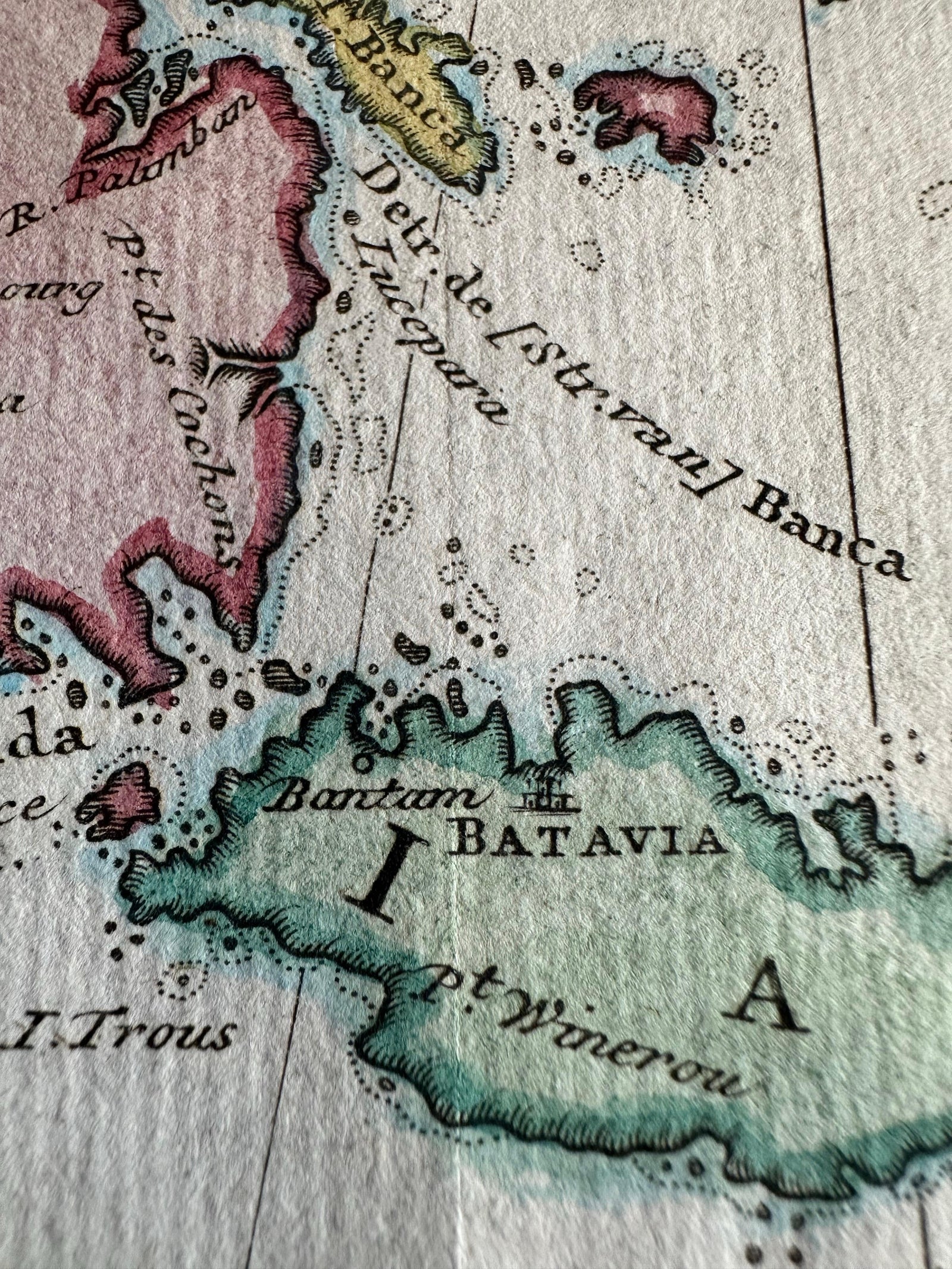
Coastal place-names are richly distributed: Malacca and the Straits, Bantam and Batavia on Java, the Sunda Strait, Banka and Billiton, Macassar, the Natuna and Anambas groups, Mindoro and the Calamianes at upper right, and part of New Guinea and the Moluccas to the east. Soundings, shoals, banks and anchorages pepper the seas, underlining the chart’s practical nautical flavor. An equatorial line bisects Borneo, and neat engraved borders with degree scales frame the image. Van der Schley, trained by Bernard Picart, brought a crisp, elegant line to the Dutch Prévost plates; here it’s complemented by fine contemporary hand color that differentiates islands and coastlines with pleasing clarity.
Beyond its decorative appeal, the sheet encapsulates the geography and commerce of the VOC sphere in the decades before Cook and Raffles, when Batavia was the hub of a far-reaching maritime empire. This is a strong, well-inked impression with the typical vertical fold from issue, ideal for collectors of Southeast Asia, VOC cartography, or the Prévost series.
Good, with general age toning. Image slightly trimmed; minor handling wear and a few small spots. Original vertical fold as issued; blank verso. Visible platemark.
Framing tips:
A warm ivory or pale cream conservation mat will set off the hand color; a dark wood or ebonized frame lends gravitas, while a narrow gilt slip adds a period accent. Float-mounting to show the platemark is recommended.
Technique: Hand-colored copper engraving
Maker: Jakob van der Schley, Amsterdam, c.1755
Explore