Close-ups
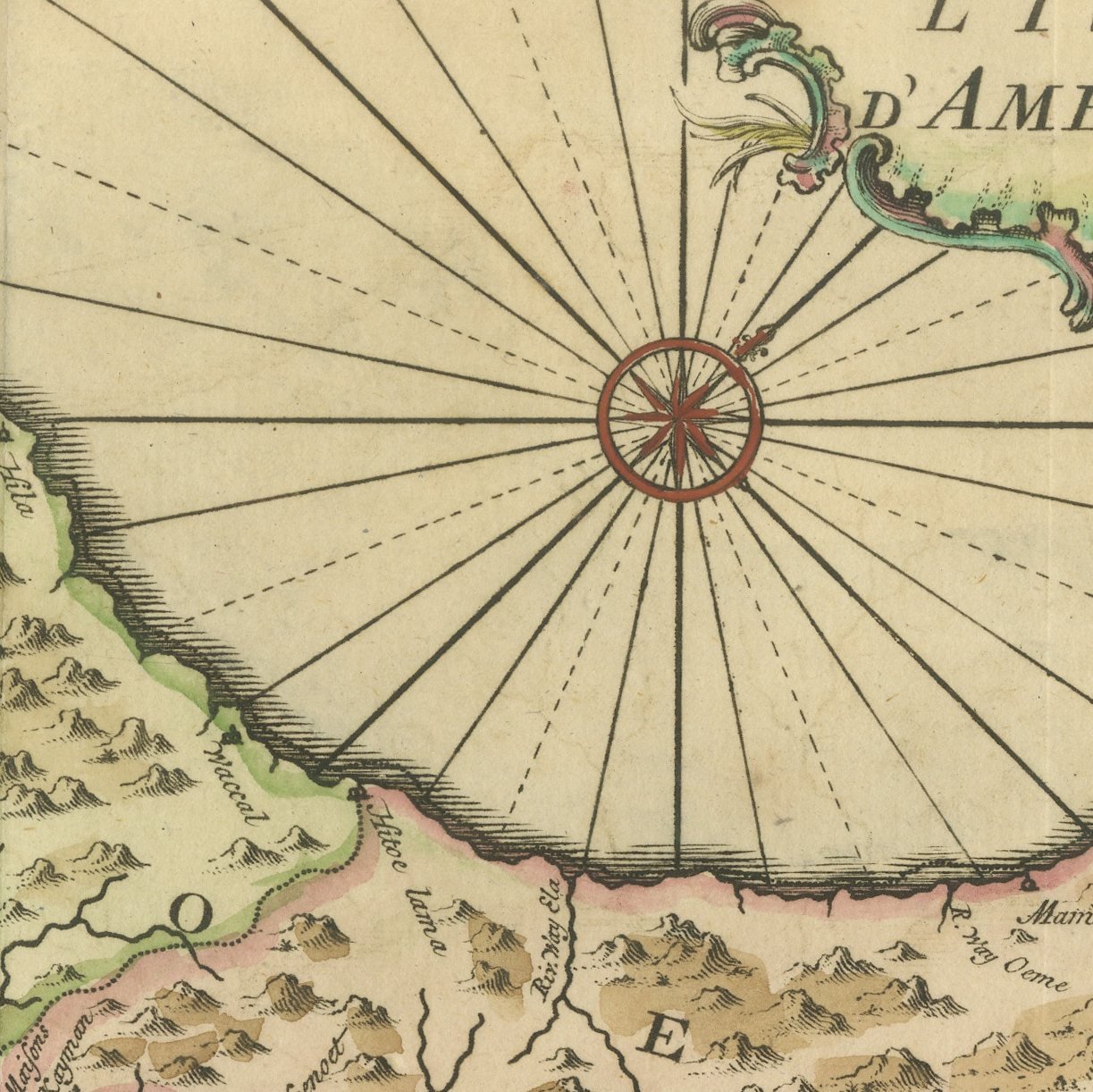
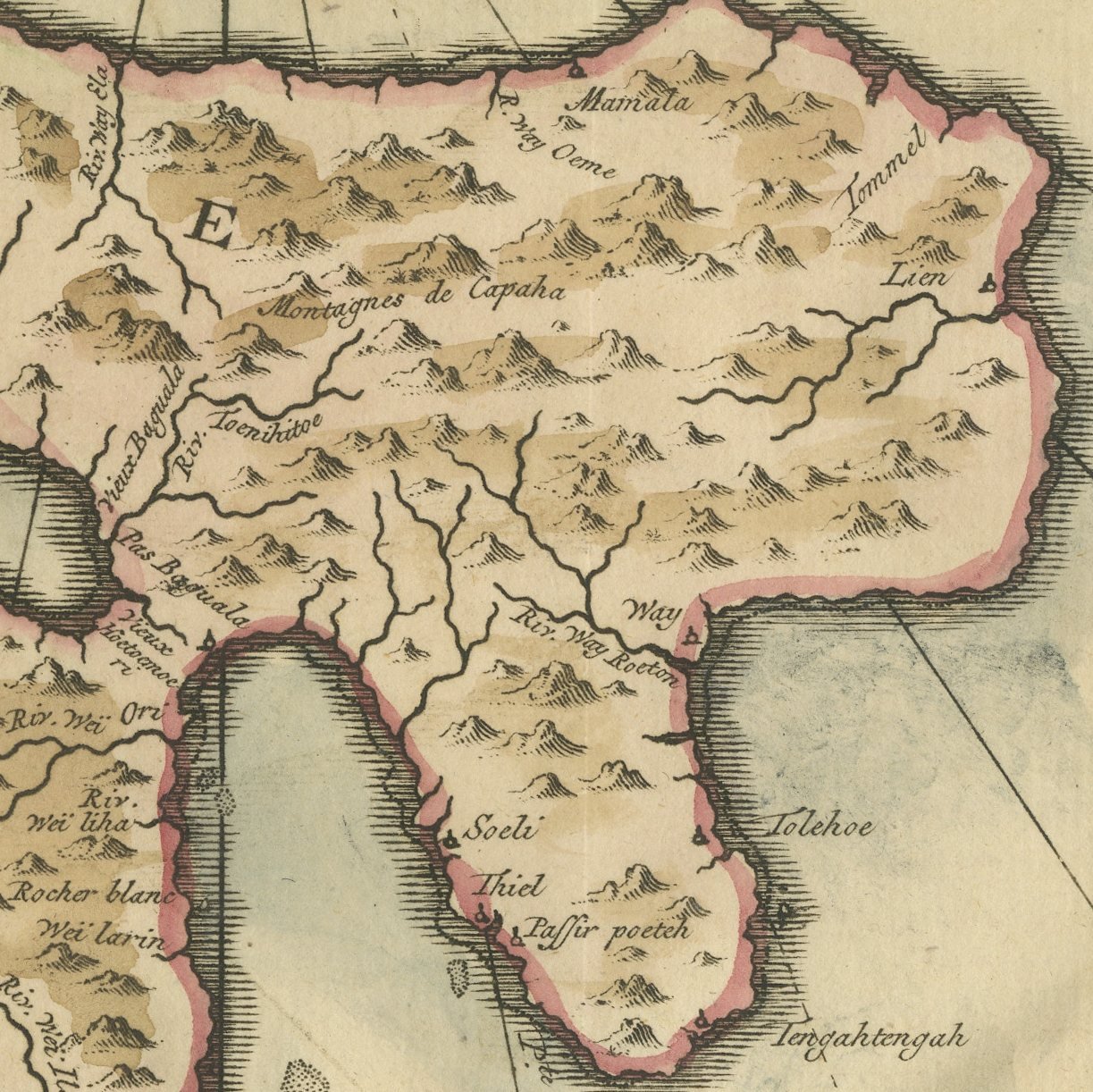
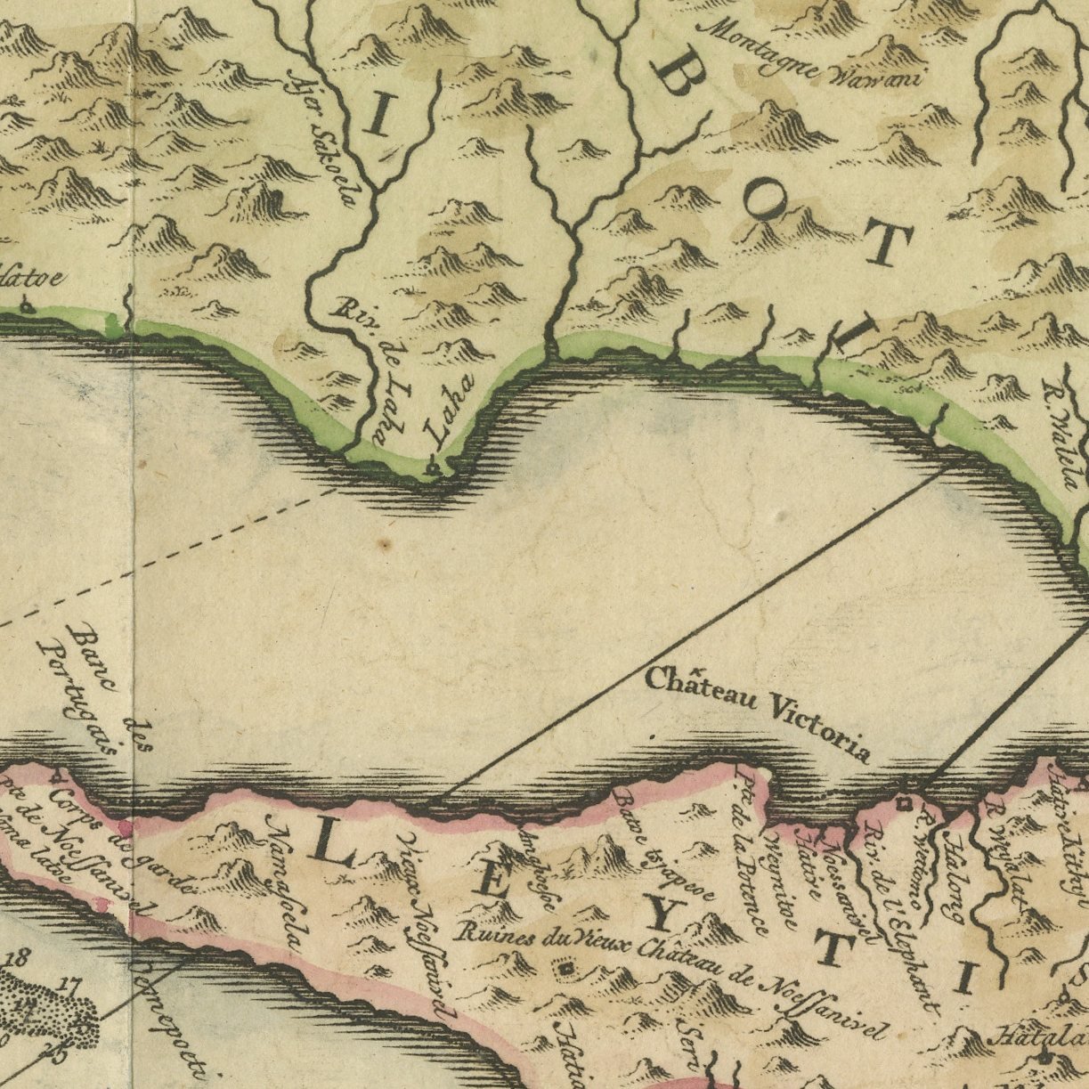
Framed and on the wall
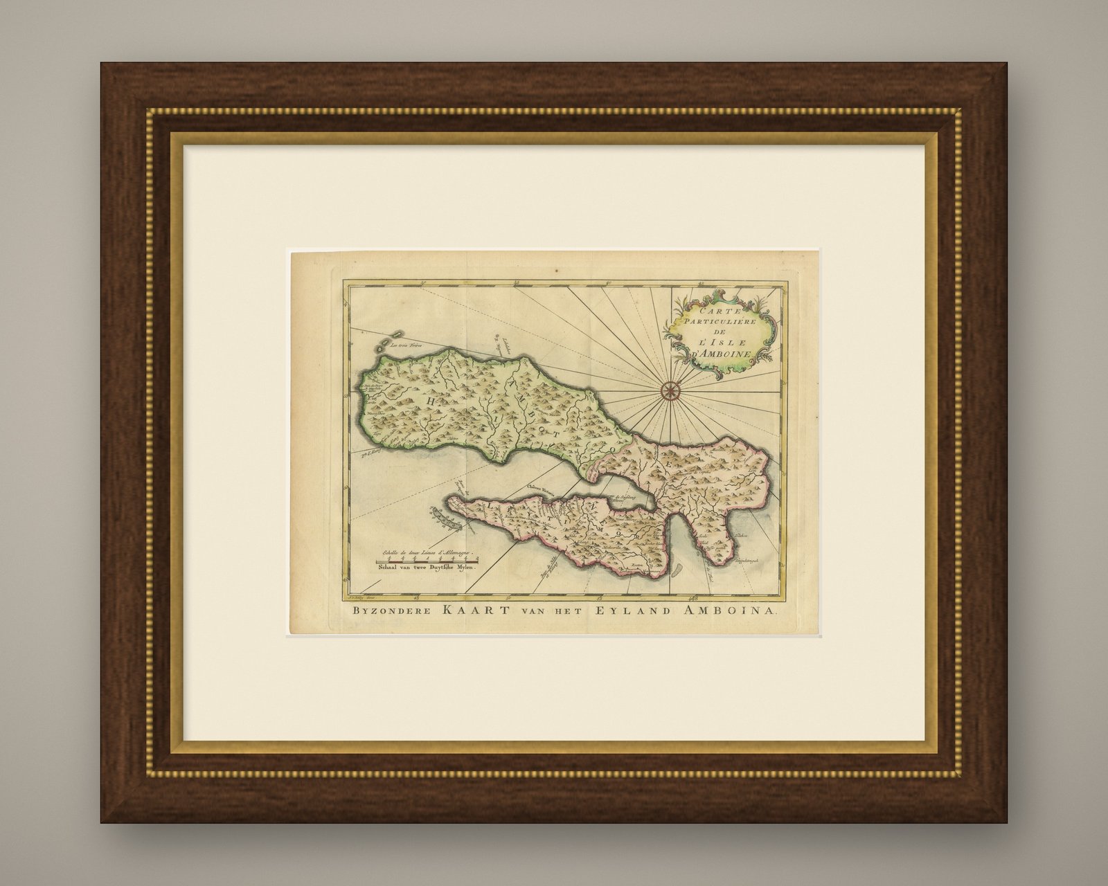
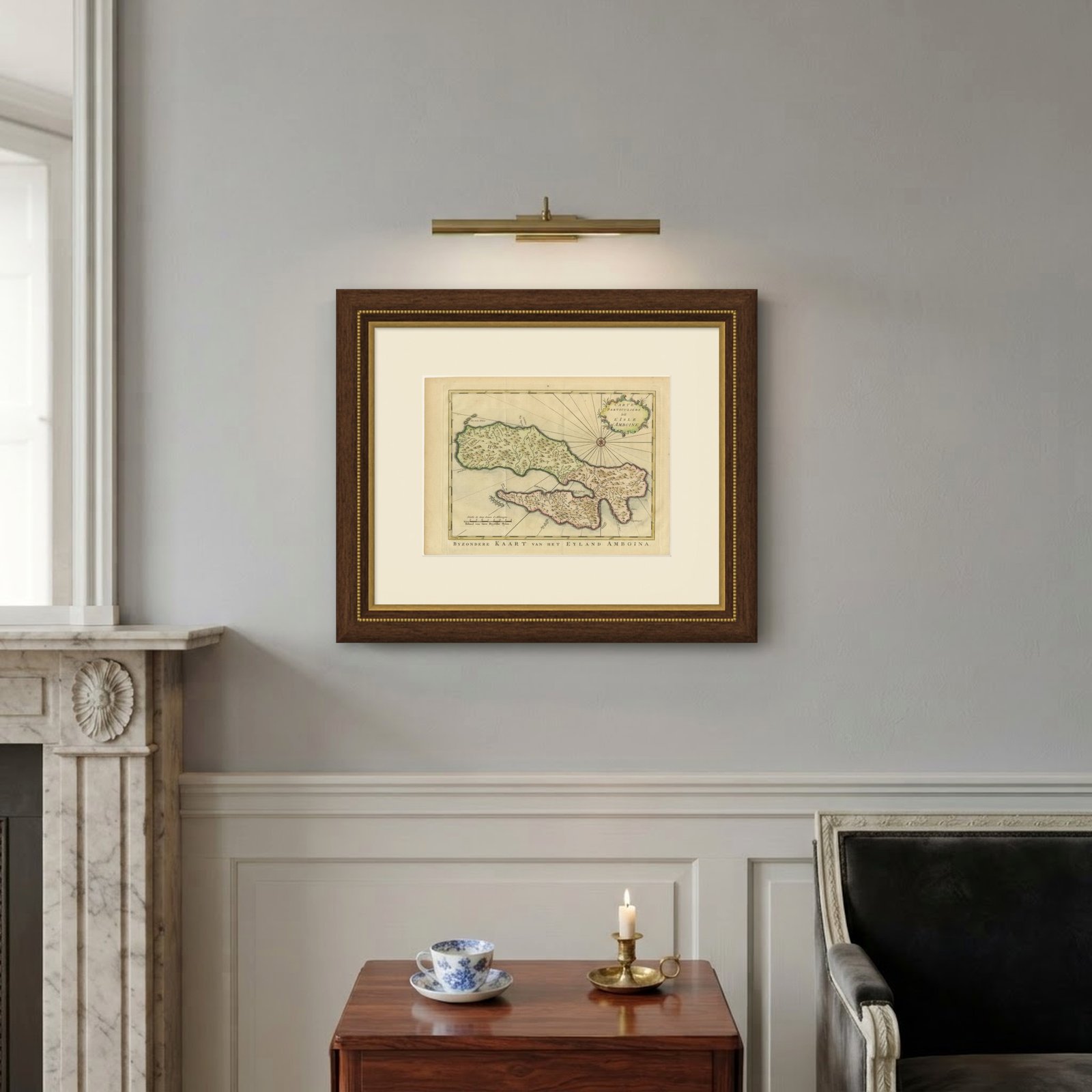
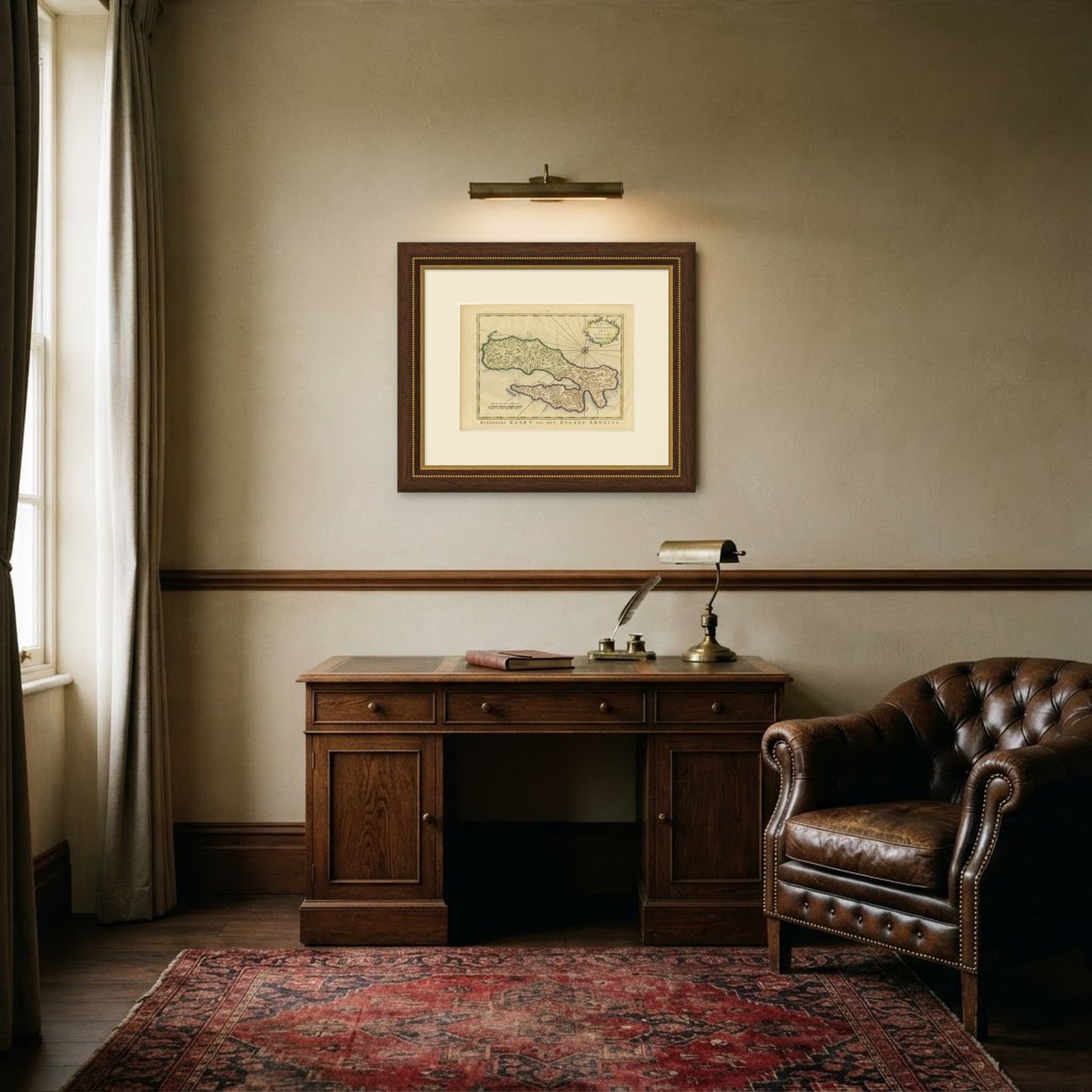
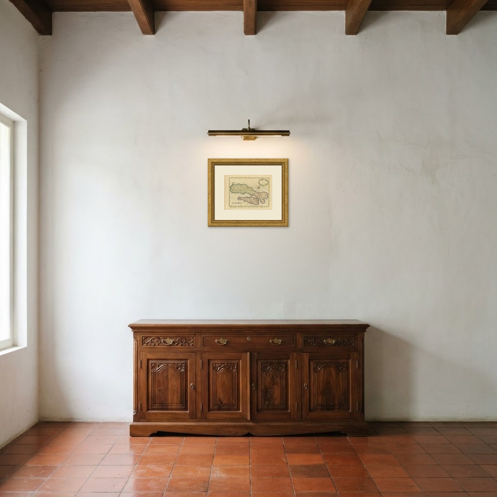
Frame and rooms are illustrations of how the print could look, drawn to its real size; it is sold unframed unless the description says otherwise.
Maps and Sea Charts
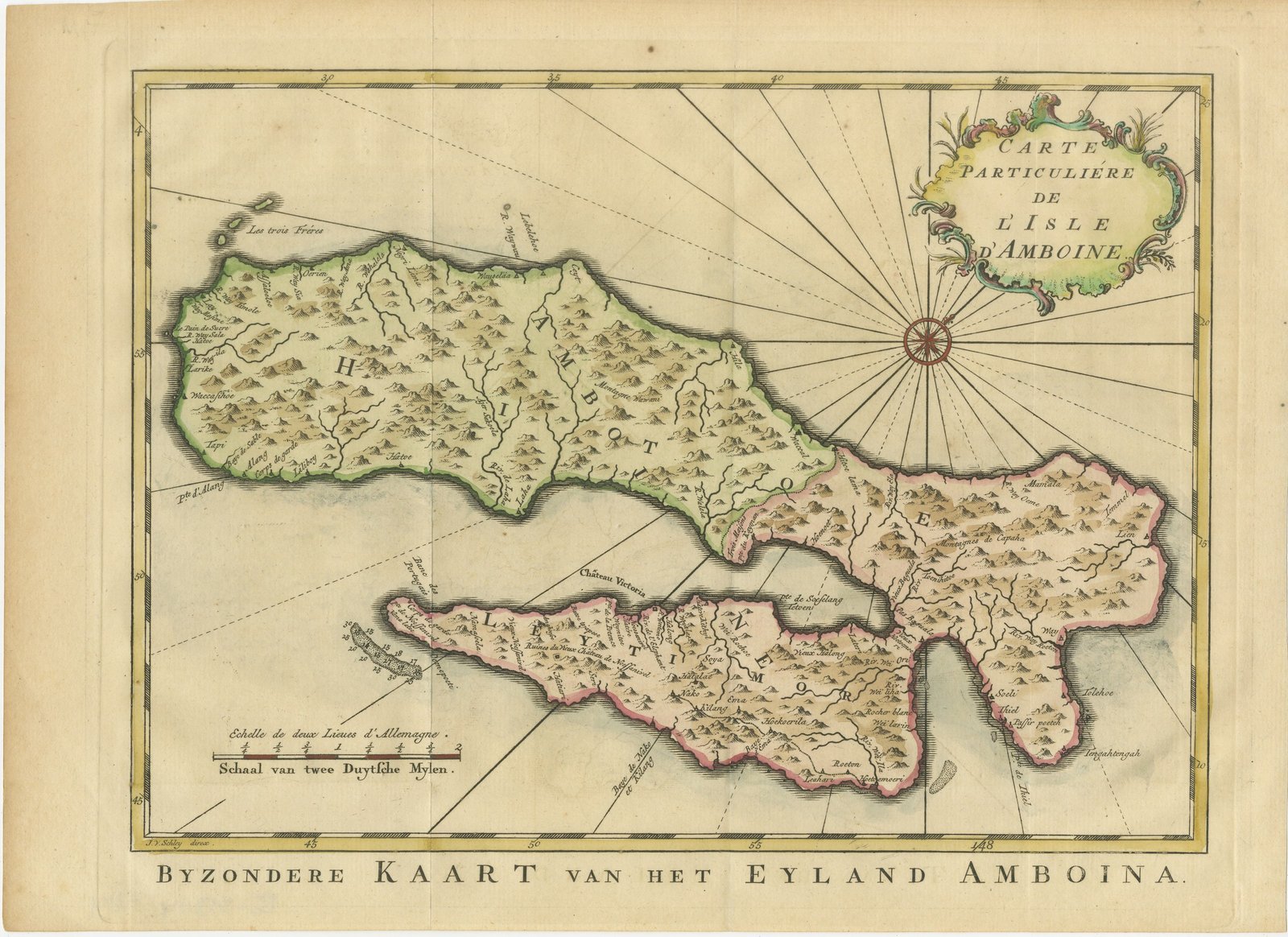
Map of Ambon Island with Chateau Victoria, Schley, circa 1753
€310€21730% off
$240 · £180
Original print, not a reproduction
Ships worldwide from the Netherlands, insured and tracked. 14-day returns.
- Date
- circa 1753
- Sheet size
- 10.2 × 13.8 in (26 × 35 cm)
- Technique
- Copper Engraving
- Coloring
- Original hand color
- Condition
- Good. Light uneven toning, browner towards the edges. Marked handling soiling along the left and top edges. A few small foxing spots in the margin. Slight wear at the top left corner.
- Island
- Moluccas
- Collection
- Maps and Sea Charts
- Period
- The Company, 1700 to 1799
- Stock no.
- BG-05944-114
What the condition grades mean
- Excellent
- Bright and clean, with no faults worth mentioning.
- Very good
- Only light signs of age, such as faint toning.
- Good
- Normal signs of age for a sheet of this period: toning, some foxing, small marks or neat old repairs.
- Fair
- Clear faults such as staining, tears or repairs, priced to match.
Every fault we see is written in the condition note, and the whole sheet is shown uncropped in the photos.
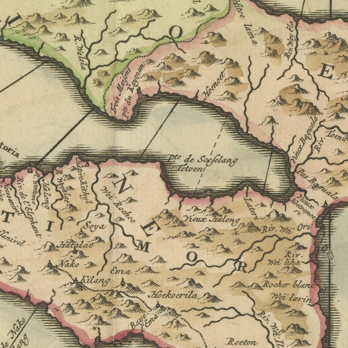
An original hand-colored antique map of the island of Ambon in the Moluccas, engraved on copper under the direction of Jacobus van der Schley and lettered in French within the plate, "CARTE PARTICULIERE DE L'ISLE D'AMBOINE", with the Dutch title "BYZONDERE KAART van het EYLAND AMBOINA" engraved below the border. The map shows the two peninsulas of Hitoe and Leytimor embracing the deep bay, with Chateau Victoria, the Dutch fort that guarded the anchorage and the town, marked on the Leytimor shore. Villages, hills and the shape of the inlet are all finely engraved, and the scale is given in both languages, "Echelle de deux Lieues d'Allemagne" and "Schaal van twee Duytsche Mylen". The hand coloring outlines the coast and the districts.
The map was engraved for the Dutch issue of Abbe Prevost's great voyage collection, "Historische Beschryving der Reizen", published at The Hague by Pieter de Hondt circa 1753, with the plates directed by Jacobus van der Schley, whose credit "J. V. Schley direx." appears on the sheet. It is an original copper engraving with hand coloring. Dealers often attribute this plate to Bellin, but the sheet itself carries only Schley's name and the credit is given here as lettered. The plate has been checked against the Atlas of Mutual Heritage record for the same map.
Ambon was the center of the clove trade and the seat of Dutch power in the Moluccas, and this neat map is how eighteenth-century European readers first understood its geography: a harbor almost enclosed by land, readily defended, and therefore worth a fortress. Chateau Victoria still stands in Ambon city as Fort Victoria. Maps from this collection are well engraved, modest in scale and easy to place, which makes them a sensible entry point for a collector beginning on the Dutch East Indies; a group of three or four of them framed alike makes an attractive block in a hallway or a small study.
Light uneven toning, browner towards the edges. Marked handling soiling along the left and top edges. A few small foxing spots in the margin. Slight wear at the top left corner.
This is an original antique map, not a modern reproduction. This item is sold unframed.