Framed and on the wall
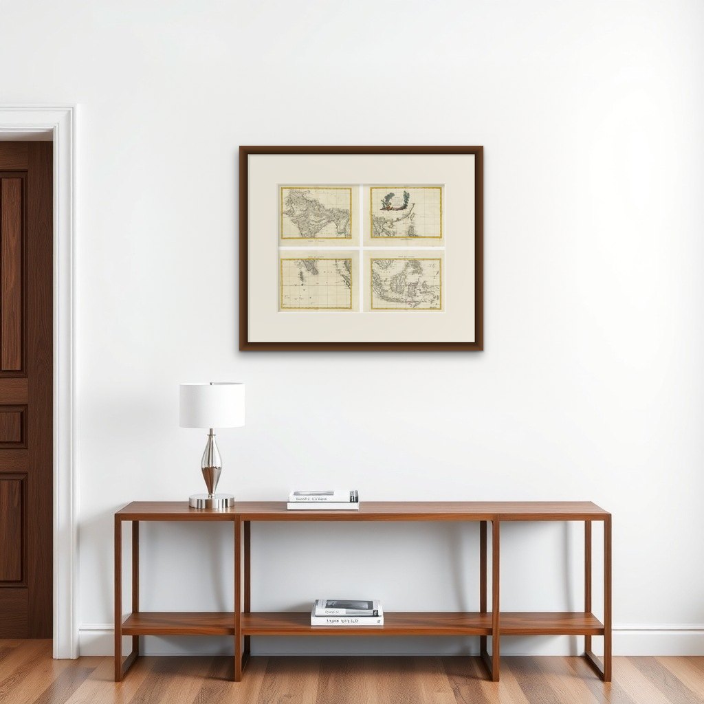

Frame and rooms are illustrations of how the print could look, drawn to its real size; it is sold unframed unless the description says otherwise.
Maps and Sea Charts
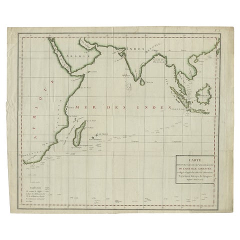
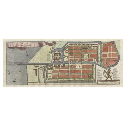
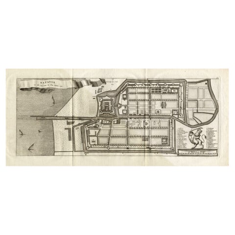
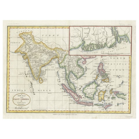
Antique Map Set East Indies, India, Indochina, Indonesia, Zatta 1784
€2,495
$2,795 · £2,090
Original print, not a reproduction
Ships worldwide from the Netherlands, insured and tracked. 14-day returns.
- Date
- 1784
- Sheet size
- 15 × 19.7 in (38 × 50 cm)
- Condition
- Good. Good antique condition with age-appropriate toning and light foxing. Original hand coloring. Minor handling marks and faint fold traces consistent with atlas sheets. Plate marks visible.
- Collection
- Maps and Sea Charts
- Period
- The Company, 1700 to 1799
- Stock no.
- f_49096062
- Color
- Hand colored
What the condition grades mean
- Excellent
- Bright and clean, with no faults worth mentioning.
- Very good
- Only light signs of age, such as faint toning.
- Good
- Normal signs of age for a sheet of this period: toning, some foxing, small marks or neat old repairs.
- Fair
- Clear faults such as staining, tears or repairs, priced to match.
Every fault we see is written in the condition note, and the whole sheet is shown uncropped in the photos.
Antique Map Set East Indies, India, Indochina, Indonesia, Zatta 1784
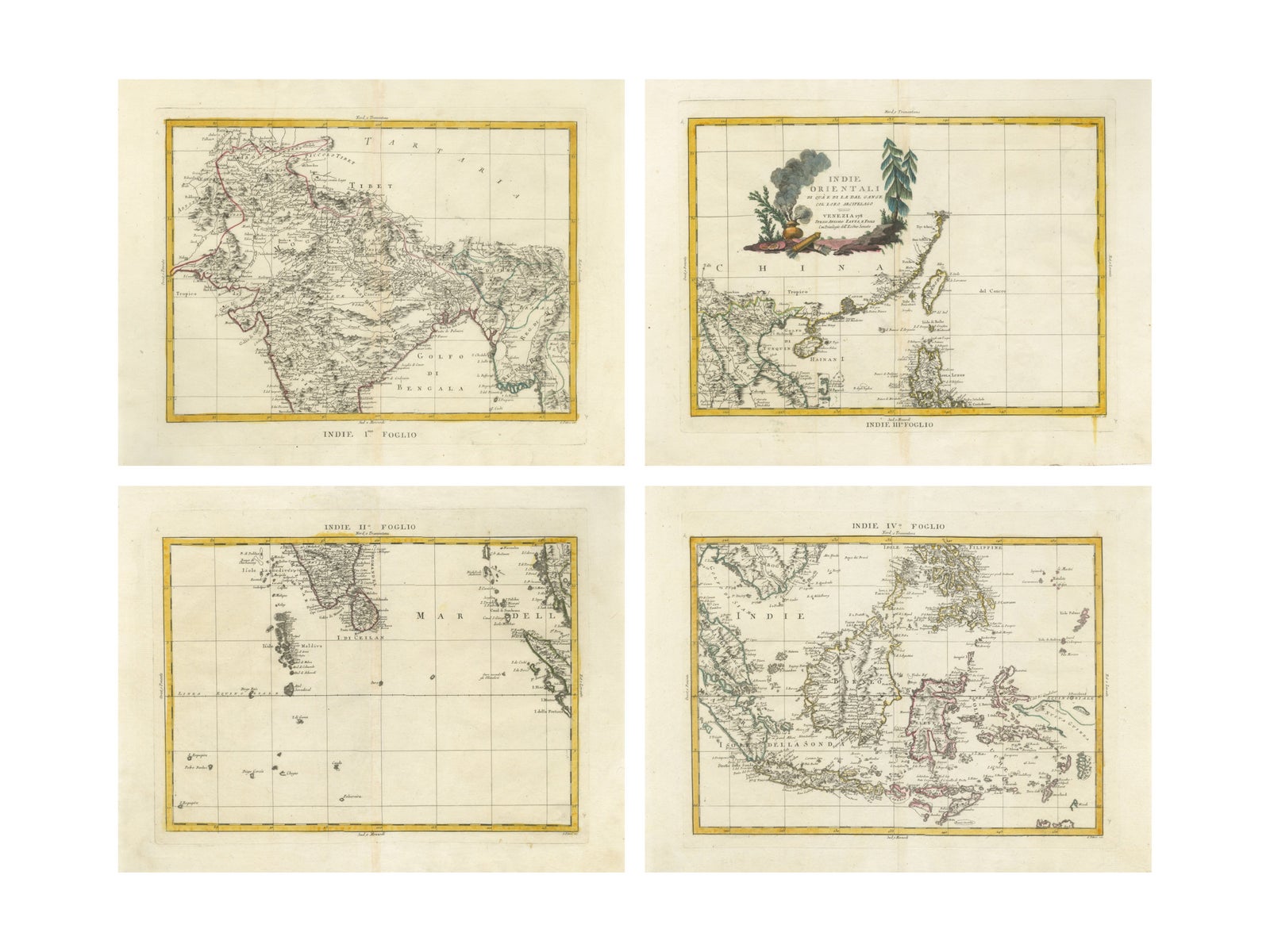
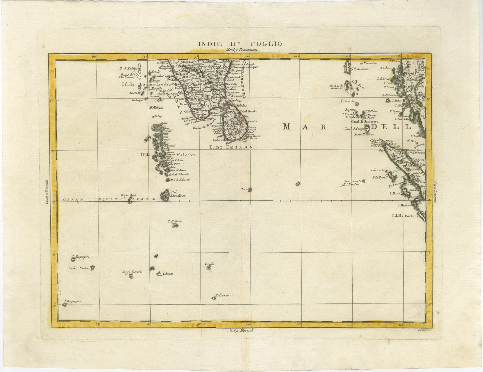
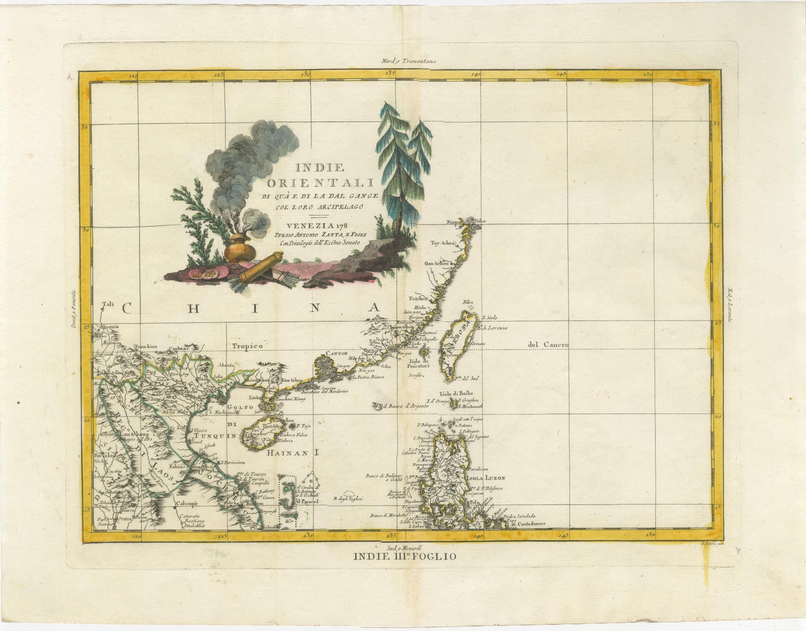
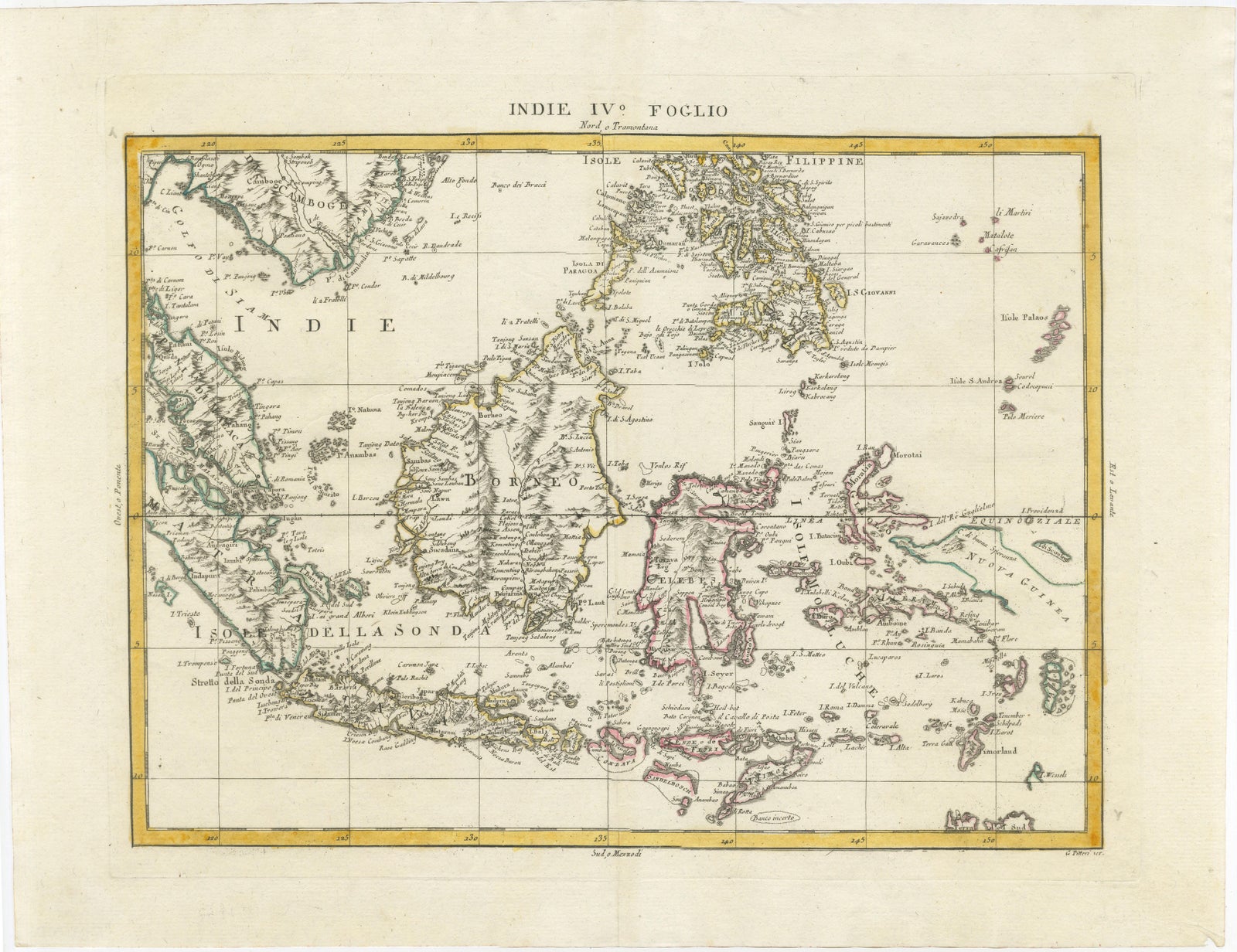
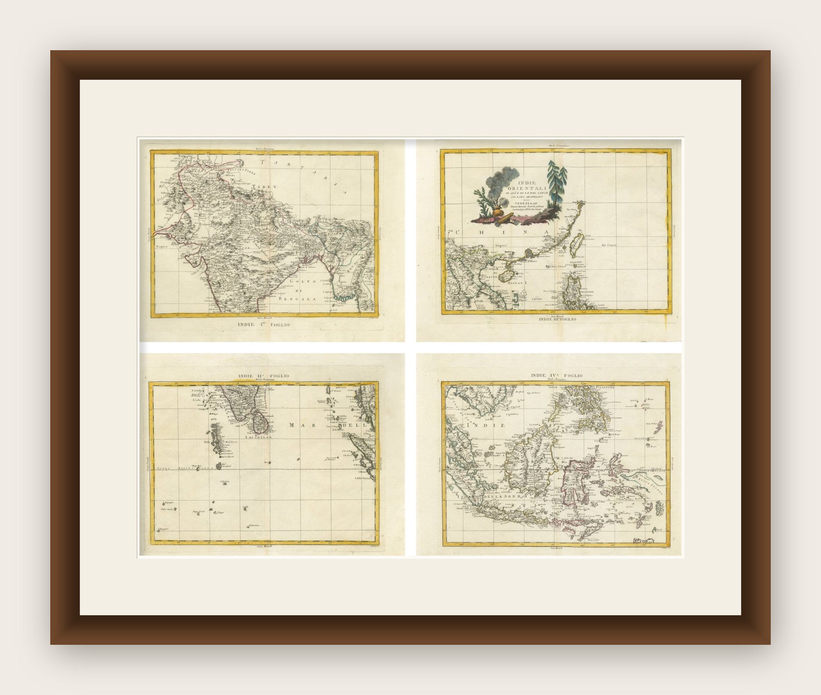
This impressive set of four antique maps forms the large composite map “Indie Orientali,” depicting South and Southeast Asia during the late eighteenth century. The maps were engraved and published by the renowned Venetian cartographer Antonio Zatta as part of his celebrated Atlante Novissimo, issued in Venice between 1784 and 1785. When assembled, the four sheets create a substantial wall map illustrating the geographical knowledge and colonial realities of Asia at the height of European maritime expansion.
Zatta was one of the most respected Italian cartographic publishers of the eighteenth century. His Atlante Novissimo is admired for its refined engraving, clarity of geographic information, and elegant decorative elements. The present maps combine scientific cartography with the artistic sensibility typical of Venetian mapmaking, featuring delicate line work, carefully applied original hand color, and a striking decorative cartouche.
The four sheets were designed to be joined together as a large wall map but are frequently encountered as individual atlas sheets. Together they present a sweeping view of the Indian subcontinent, mainland Southeast Asia, and the vast island networks of the East Indies. We well the maps unframed. The measurements in the details are per sheet.
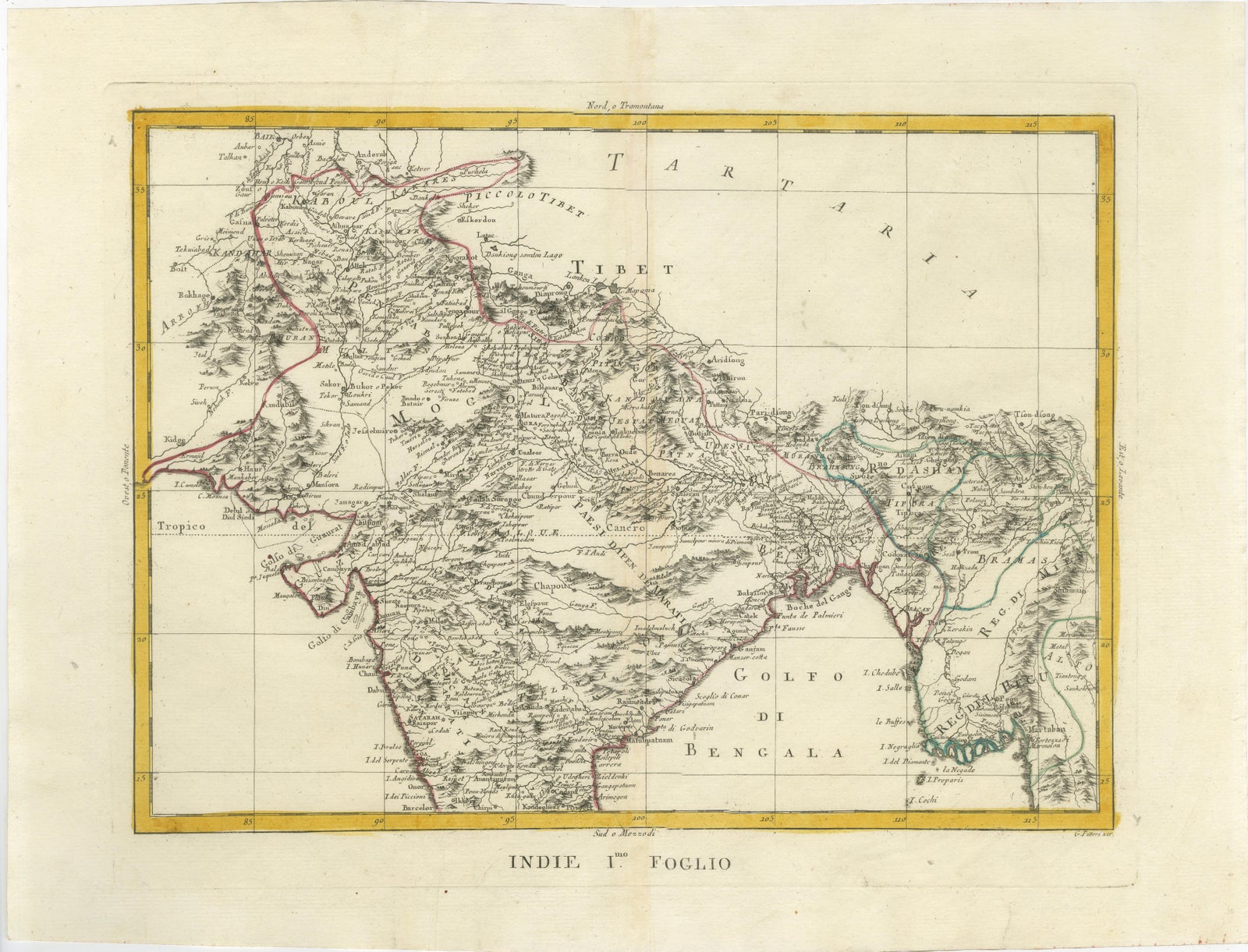
The upper left sheet, Indie I. Foglio, focuses on northern India and the Himalayan region, showing the course of the Ganges River, Bengal, Tibet, and parts of western China. The upper right sheet, Indie II. Foglio, depicts Indochina and southern China, extending eastward toward the Philippines. This sheet also features the elaborate title cartouche surrounded by exotic vegetation and trade goods, reflecting European fascination with the riches of Asia.
The lower left sheet, Indie III. Foglio, illustrates southern India including the Malabar and Coromandel coasts, together with Ceylon (Sri Lanka) and the island groups of the Maldives and Laccadives. The lower right sheet, Indie IV. Foglio, presents the Malay Archipelago, including Sumatra, Java, Borneo, the Celebes (Sulawesi), and surrounding islands. This region was of immense importance in global trade due to the lucrative spice routes controlled by European colonial powers.
The maps capture the geopolitical landscape of the late eighteenth century, when British, Dutch, French, and Portuguese interests dominated the region. They offer a fascinating historical record of the territories, trading centers, and maritime routes that shaped the early modern global economy.
Today this four-sheet map set is highly desirable for collectors of Asian cartography and for interior designers seeking a dramatic historical wall display. When framed together, the maps create an impressive panoramic composition illustrating the East Indies as understood in the Enlightenment era.
Framing tip: This set displays beautifully when framed as a four-panel grid or assembled into a single large wall map. Dark walnut or black frames with ivory mats emphasize the warm tones of the original hand coloring and create a refined museum-style presentation.
Technique: Copperplate engraving with original hand color
Maker: Antonio Zatta, Venice, circa 1784 to 1785
Explore