Close-ups
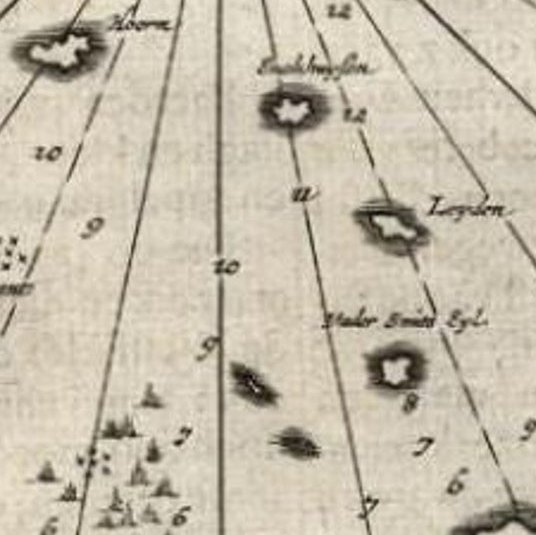
Framed and on the wall


Frame and rooms are illustrations of how the print could look, drawn to its real size; it is sold unframed unless the description says otherwise.
Maps and Sea Charts
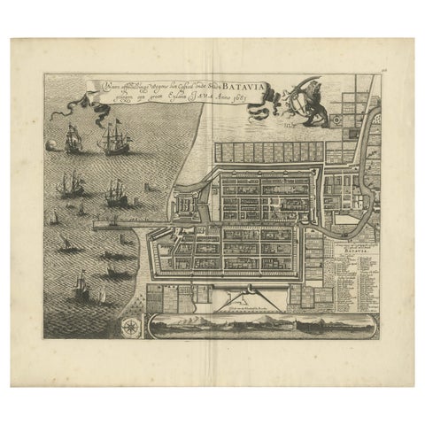
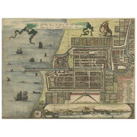
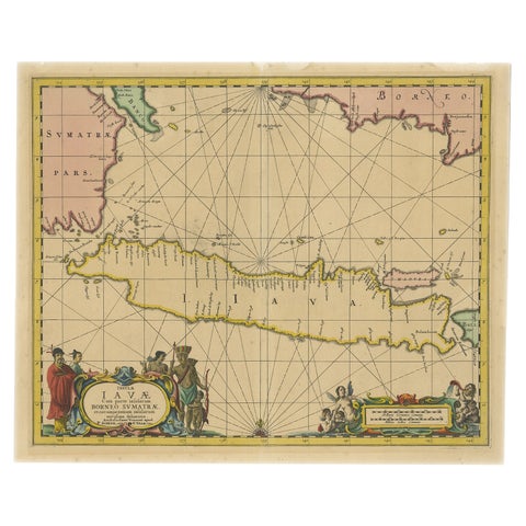
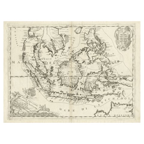
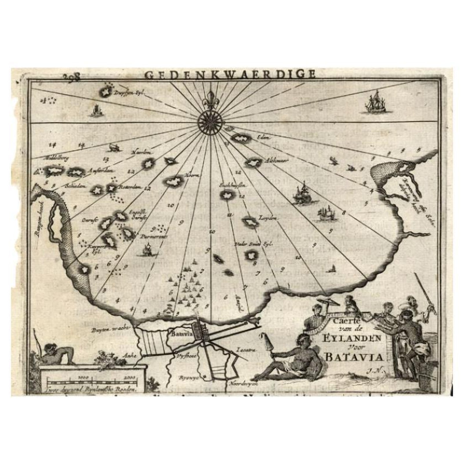
Antique Map of the Islands Near Batavia, Capital of the Dutch East Indies, 1682
Batavia is now Jakarta.
$340
€302 · £255
Original print, not a reproduction
Ships worldwide from the Netherlands, insured and tracked. 14-day returns.
- Date
- 1682
- Sheet size
- 11.8 × 7.5 in (30 × 19 cm)
- Condition
- Fine; General age related toning and light staining from handling. Small tears in margin, not effecting image or text. Irregular paper edges. Please study image carefully.
- Island
- Java
- Place names
- Batavia is now Jakarta
- Collection
- Maps and Sea Charts
- Period
- The spice race, before 1700
- Stock no.
- f_27797552
What the condition grades mean
- Excellent
- Bright and clean, with no faults worth mentioning.
- Very good
- Only light signs of age, such as faint toning.
- Good
- Normal signs of age for a sheet of this period: toning, some foxing, small marks or neat old repairs.
- Fair
- Clear faults such as staining, tears or repairs, priced to match.
Every fault we see is written in the condition note, and the whole sheet is shown uncropped in the photos.
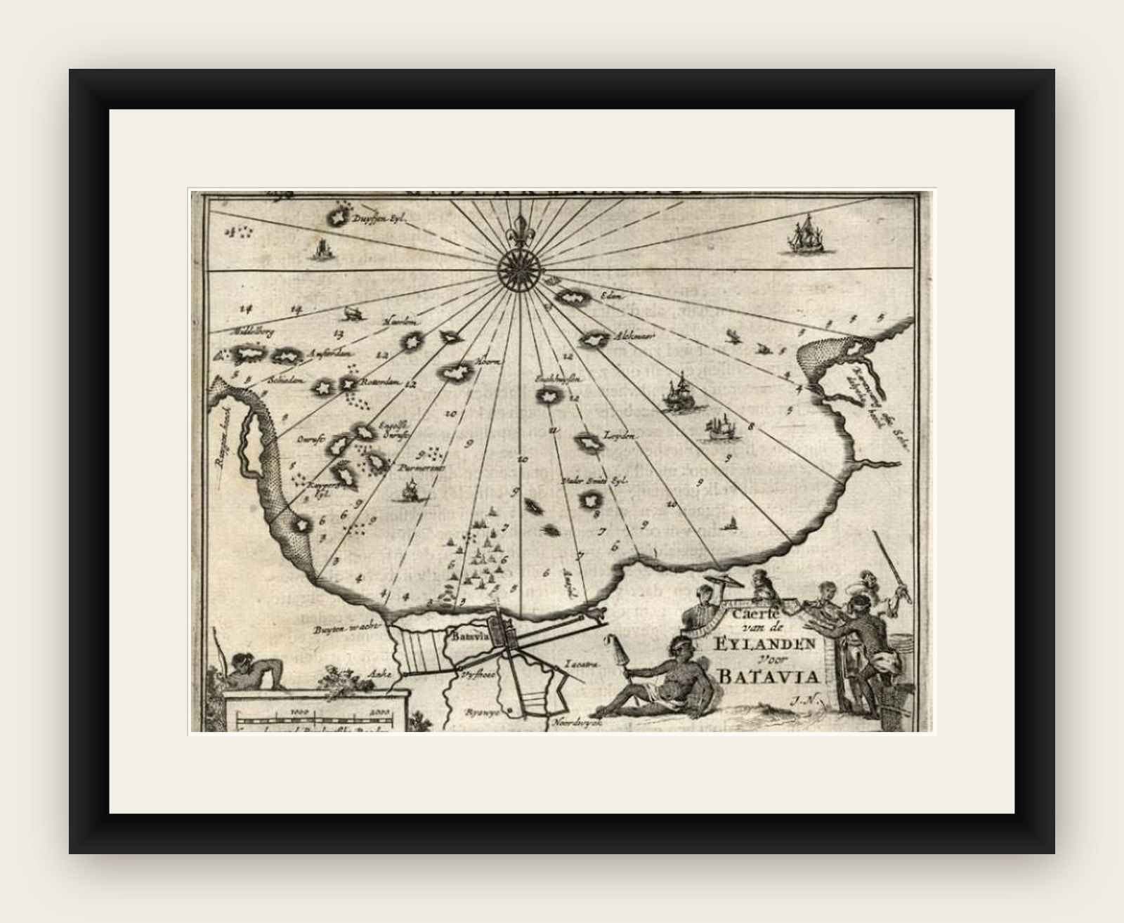
Antique map titled 'Caerte van de Eylanden voor Batavia.'
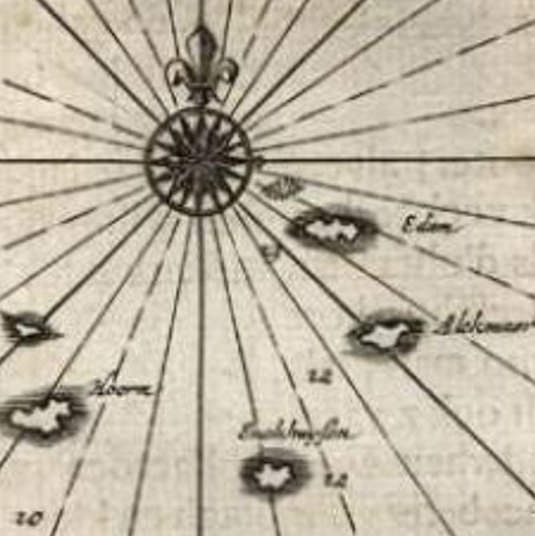
Map of the islands near Batavia, Indonesia. With scale, compass rose, cartouche and ships on the sea. Sheet with engraving and text front and rear. This rare original old antique print originates from the book: 'Gedenkweerdige Brasiliaense Zee en Lantreize ...' by Johan Nieuhof, published by Jacob van Meurs, Amsterdam, 1682. First and only Dutch edition. Later amended English edition published by Churchill in 1744.
Artists and Engravers: Johan / Jan / Johannes Nieuhof / Nieuhoff / Neuhof (1618-1672) was a Dutch traveler who wrote about his journeys to Brazil, China and India. The most famous of these was a trip of 2,400 km from Canton to Peking in 1655-1657, which enabled him to become an authoritative Western writer on China. Johan Nieuhof was born in Uelsen, Germany, of which his father (originally from Zwolle) was mayor. Nieuhof left for Brazil in 1640 as a reserve officer-candidate, from then on, barring two short family visits in 1658 and 1671, he spent all the rest of his life abroad. After an adventurous career in the service of the Dutch East India Company (or VOC), between 1660 and 1667 he occupied posts in India and on Ceylon, he then lived in Batavia until 1670. He then disappeared without trace on Madagascar, traveling in a sloop from which he had landed to seek drinking water. The engravings are made after Nieuhoff's drawings.
Image size: 17 x 13 cm