Close-ups
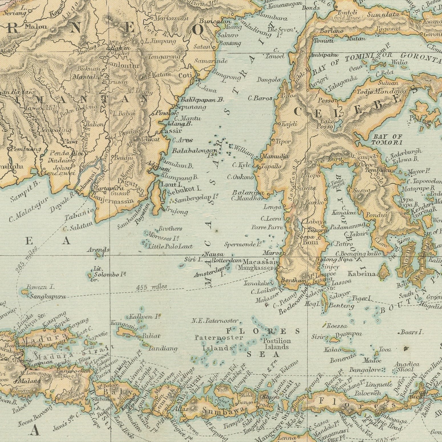

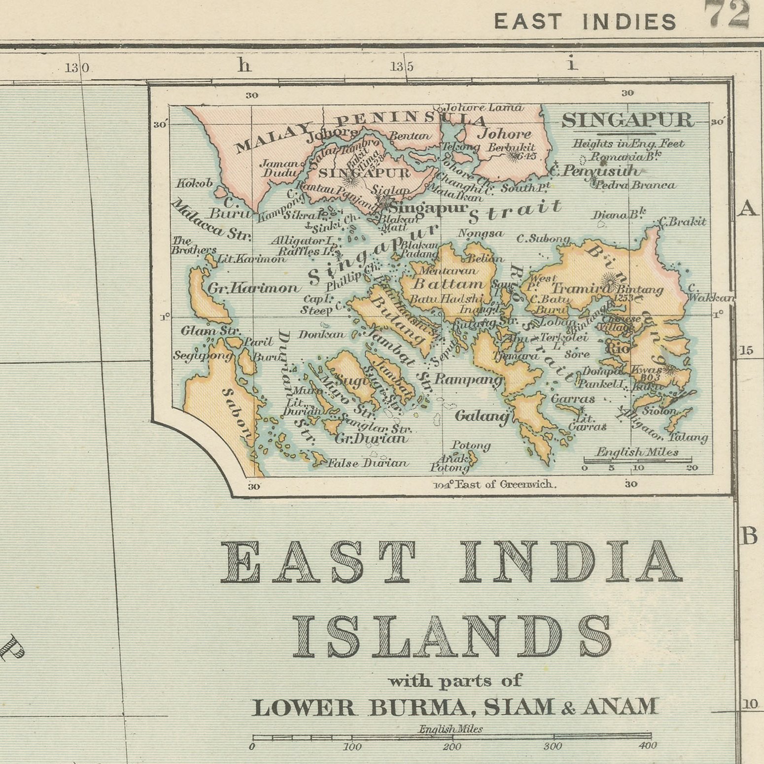
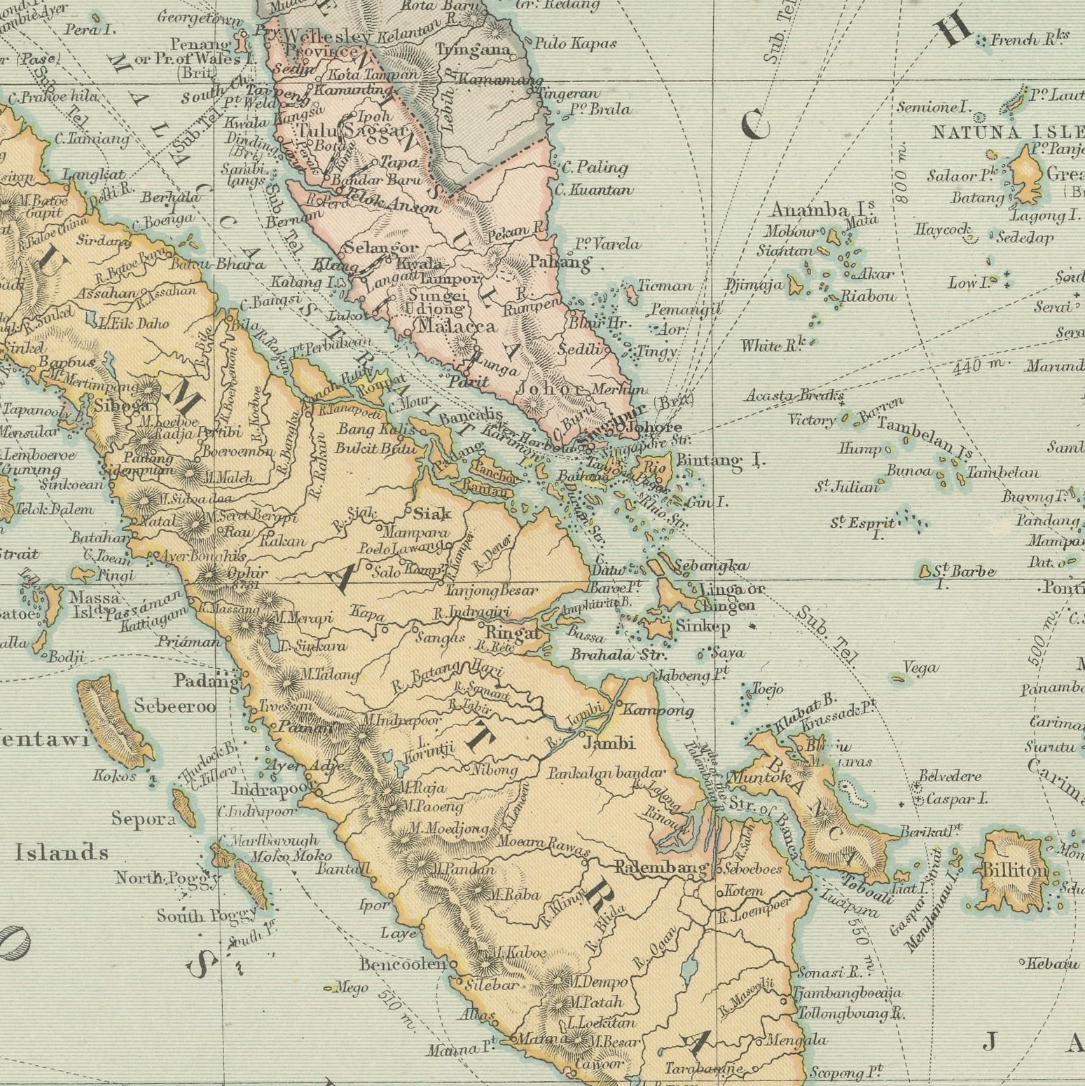
Framed and on the wall
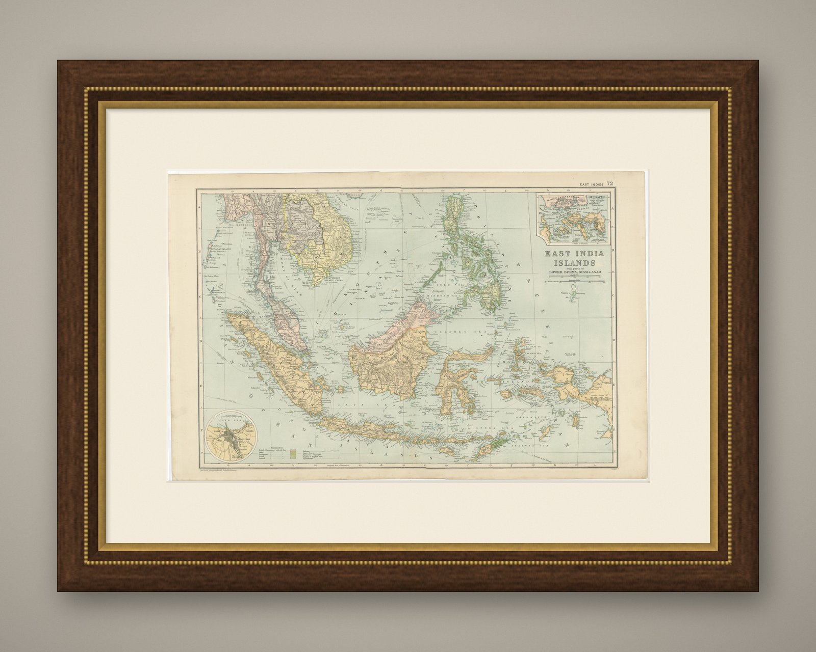
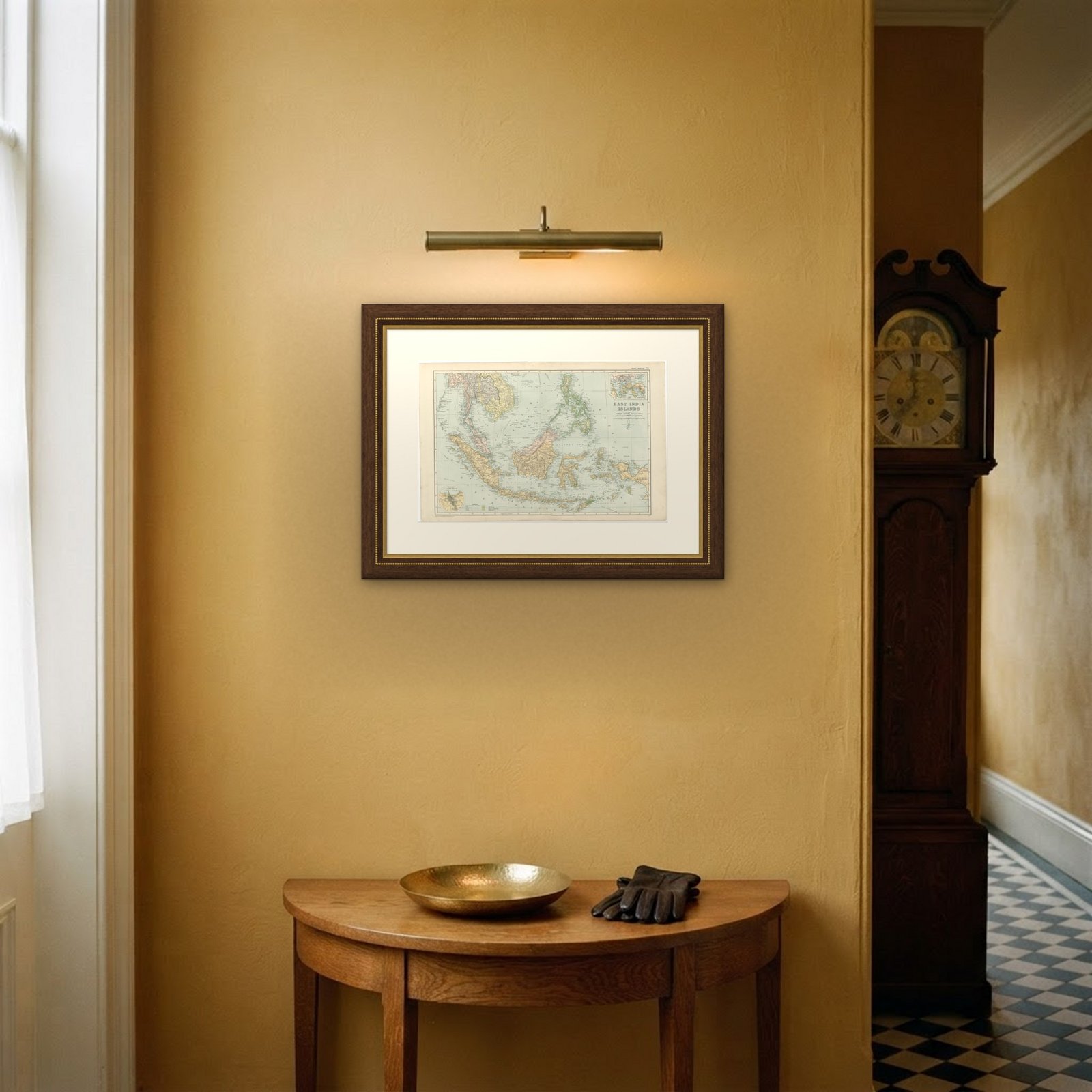

Frame and rooms are illustrations of how the print could look, drawn to its real size; it is sold unframed unless the description says otherwise.
Maps and Sea Charts
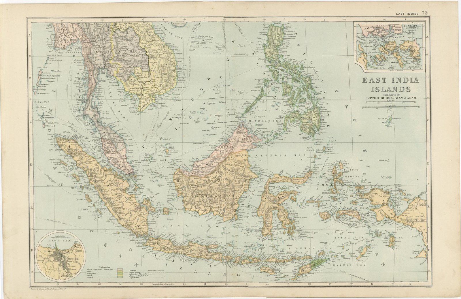
Antique Map of the East India Islands, Singapore and Java, 1898
€325
$355 · £270
Original print, not a reproduction
Ships worldwide from the Netherlands, insured and tracked. 14-day returns.
- Date
- 1898
- Sheet size
- 13.4 × 21.3 in (34 × 54 cm)
- Technique
- Lithograph
- Coloring
- Printed color
- Condition
- Good. Light overall age toning, with the paper darker along the top edge and wear to the top left and bottom left corners. The printed image itself is clean.
- Island
- Java
- Collection
- Maps and Sea Charts
- Period
- Netherlands Indies, 1850 and after
- Stock no.
- BG-06675-72
What the condition grades mean
- Excellent
- Bright and clean, with no faults worth mentioning.
- Very good
- Only light signs of age, such as faint toning.
- Good
- Normal signs of age for a sheet of this period: toning, some foxing, small marks or neat old repairs.
- Fair
- Clear faults such as staining, tears or repairs, priced to match.
Every fault we see is written in the condition note, and the whole sheet is shown uncropped in the photos.
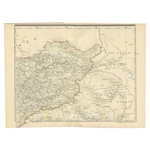
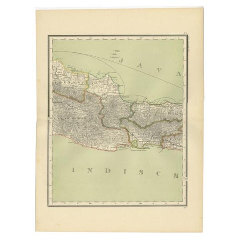
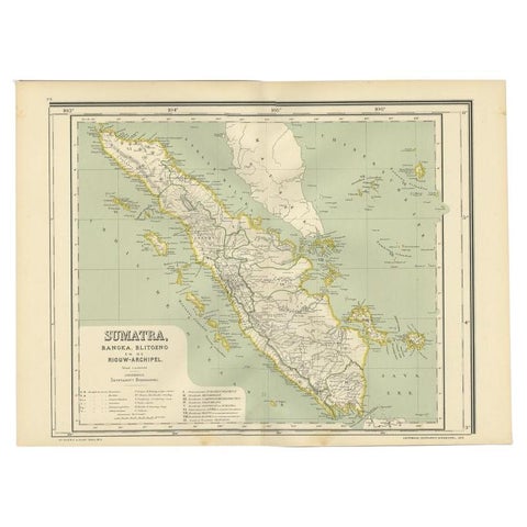
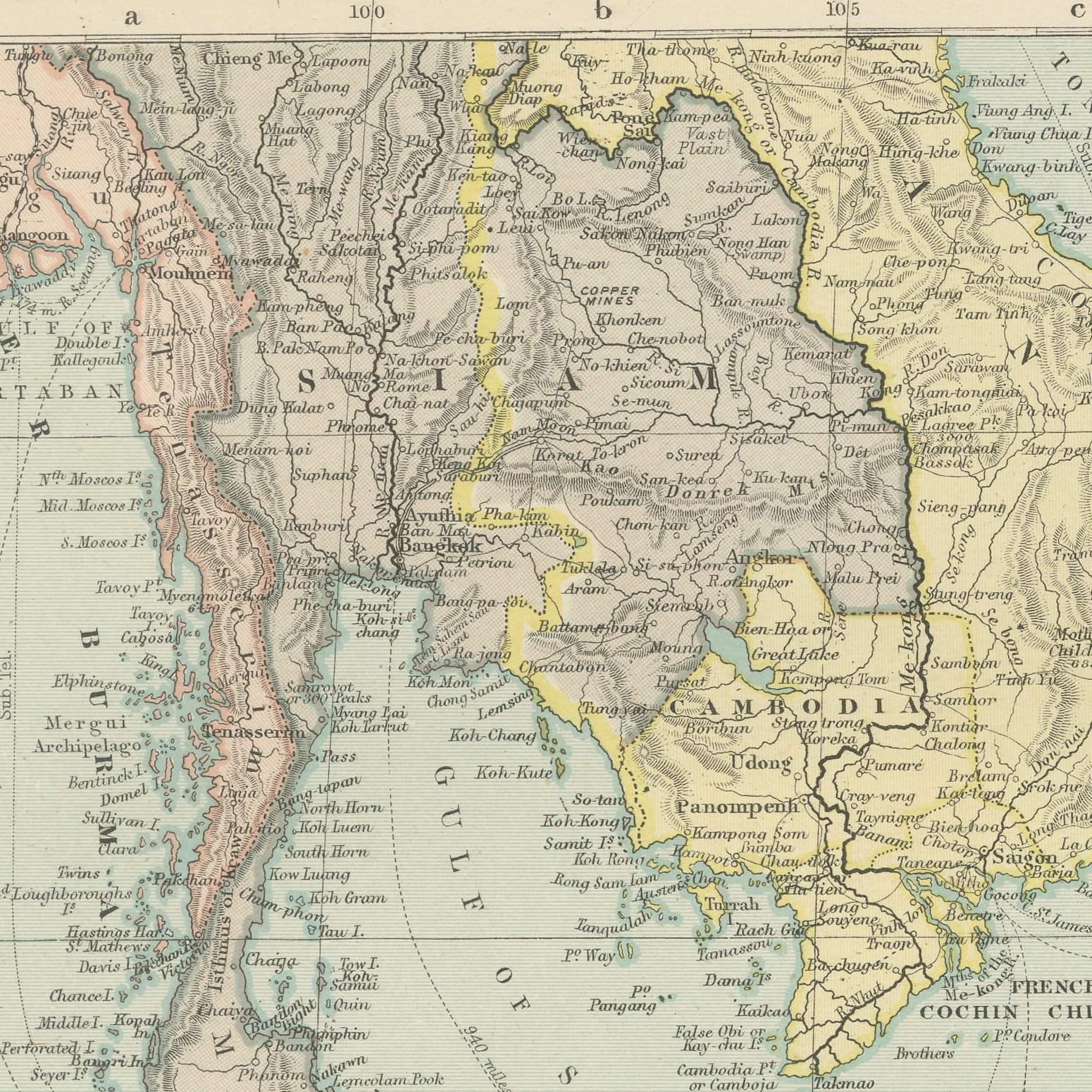
An original antique map of the East India Islands, color printed in London in 1898 for G. W. Bacon's Commercial and Library Atlas of the World. The archipelago fills the double page from Sumatra to the Moluccas and from the Philippines to Timor, with Borneo, Celebes and Java drawn in detail and a printed key separating Dutch, British, Spanish, French and Portuguese possessions. Lower Burma, Siam and Anam occupy the north western corner, and insets give Singapore with the Malay Peninsula and Batavia with its roads.
The sheet comes from the Commercial and Library Atlas of the World with Index-Gazetteer, edited by George Washington Bacon, Fellow of the Royal Geographical Society, and published in London by G. W. Bacon and Company, Limited, of 127 Strand, in 1898. The atlas gathered one hundred double page maps and one hundred inset maps with an alphabetical index of fifty thousand places and a gazetteer of two thousand towns, and it was sold to merchants, shipping houses and subscription libraries that needed the world kept current rather than kept beautiful.
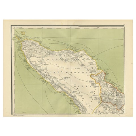
The sheet shows the Indies in the last months of Spanish Manila, which fell to the United States in 1898, and with the Dutch still fighting the long war in Acheen at the northern tip of Sumatra. Batavia, now Jakarta, is drawn as a colonial port city with its canals. For collectors in Indonesia, Malaysia and Singapore this generation of map is the one most often wanted, because it names places in the forms used before independence.
Light overall age toning, with the paper darker along the top edge and wear to the top left and bottom left corners. The printed image itself is clean.
Framed simply, a sheet of this size holds a wall on its own, and the clear color printing reads well across a room. It suits a study, a library, an office or a hallway, and it is an easy gift for anyone with a connection to the place it shows. This is an original antique map, not a modern reproduction. This item is sold unframed.
Explore