Close-ups
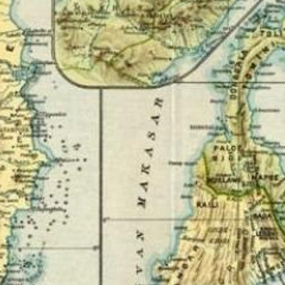
Framed and on the wall


Frame and rooms are illustrations of how the print could look, drawn to its real size; it is sold unframed unless the description says otherwise.
Maps and Sea Charts
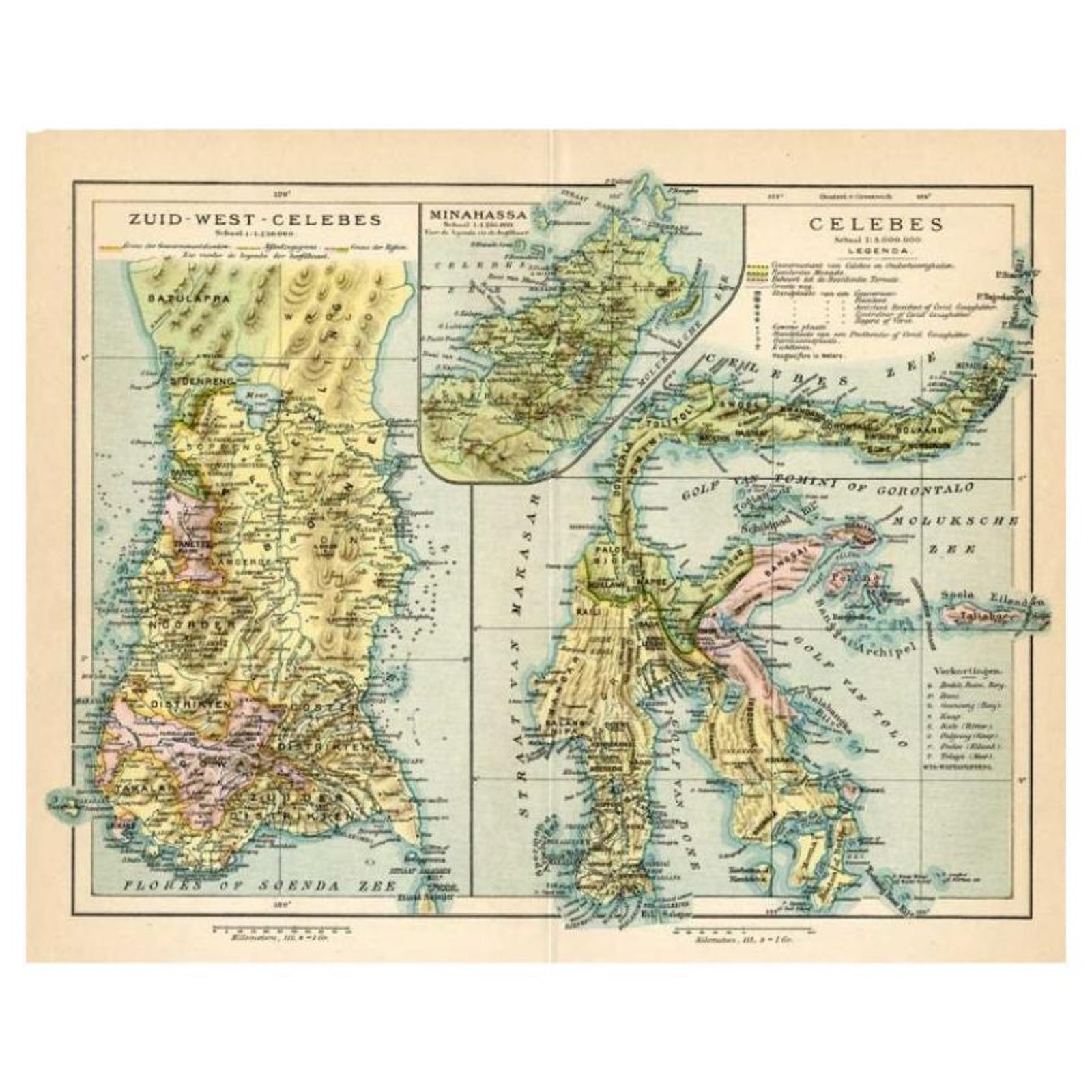
Antique Map of Sulawesi by Winkler Prins, c.1900
£60
$80 · €73
Original print, not a reproduction
Ships worldwide from the Netherlands, insured and tracked. 14-day returns.
- Date
- 1900
- Sheet size
- 9.8 × 12.4 in (25 × 31.5 cm)
- Condition
- Good
- Island
- Celebes
- Collection
- Maps and Sea Charts
- Period
- Netherlands Indies, 1850 and after
- Stock no.
- f_27771612
What the condition grades mean
- Excellent
- Bright and clean, with no faults worth mentioning.
- Very good
- Only light signs of age, such as faint toning.
- Good
- Normal signs of age for a sheet of this period: toning, some foxing, small marks or neat old repairs.
- Fair
- Clear faults such as staining, tears or repairs, priced to match.
Every fault we see is written in the condition note, and the whole sheet is shown uncropped in the photos.
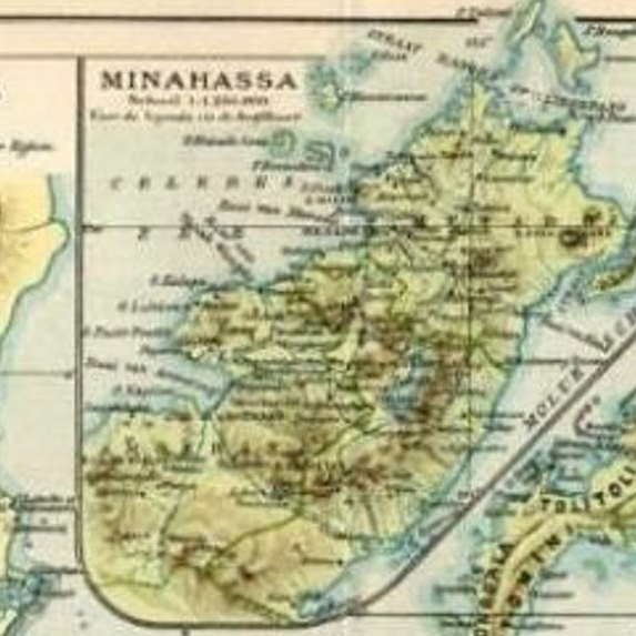
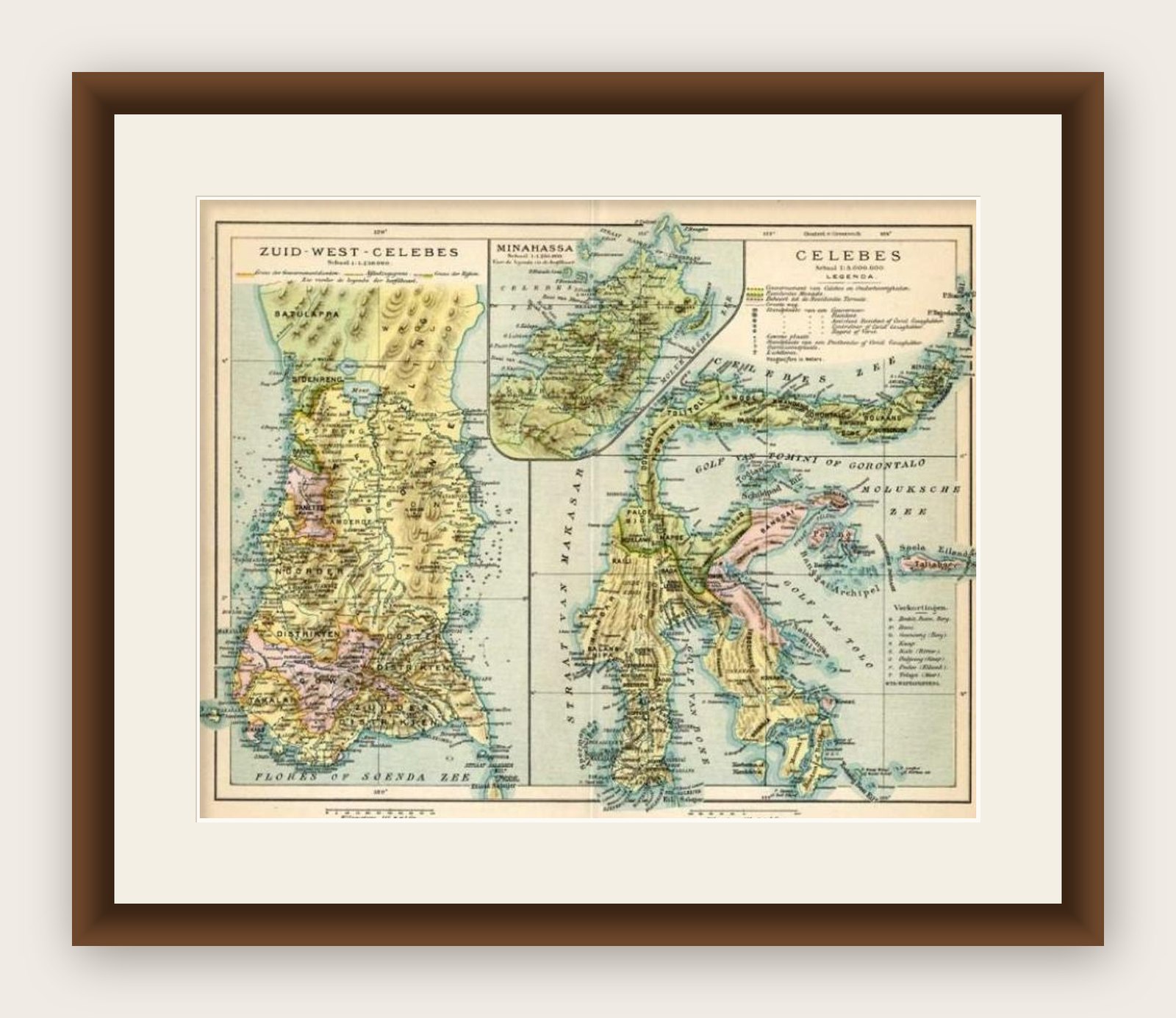
Antique map titled 'Celebes.' (Sulawesi .) This map shows the Indonesian island of Sulawesi, one of the Sunda islands. With inset maps of South-west Sulawesi and Semenanjung Minahassa. Legend and scale. This map originates from 'De Grote Winkler Prins', a Dutch encyclopedia published ca. 1900. Artists and Engravers: Anthony Winkler Prins (1817, 1908) was a Dutch writer. He is remembered mostly for being chief editor of the Winkler Prins encyclopedia.
Artist: Anthony Winkler Prins (1817, 1908) was a Dutch writer. He is remembered mostly for being chief editor of the Winkler Prins encyclopedia.
Image size: 0.001 x 29.5 x 22.5 cm.
Explore