Framed and on the wall
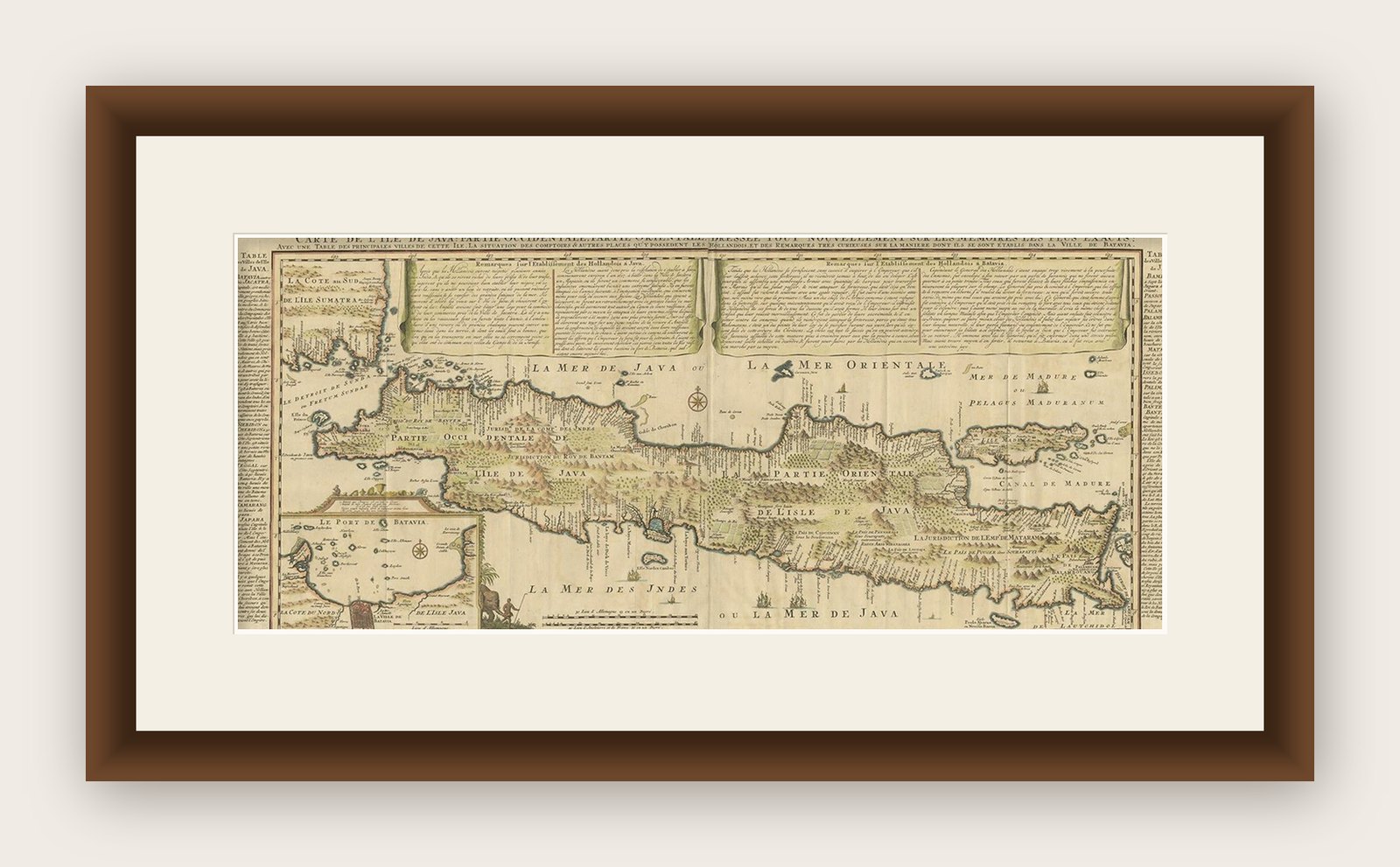
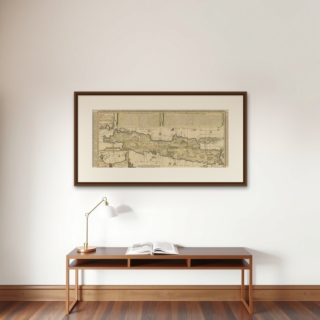

Frame and rooms are illustrations of how the print could look, drawn to its real size; it is sold unframed unless the description says otherwise.
Maps and Sea Charts
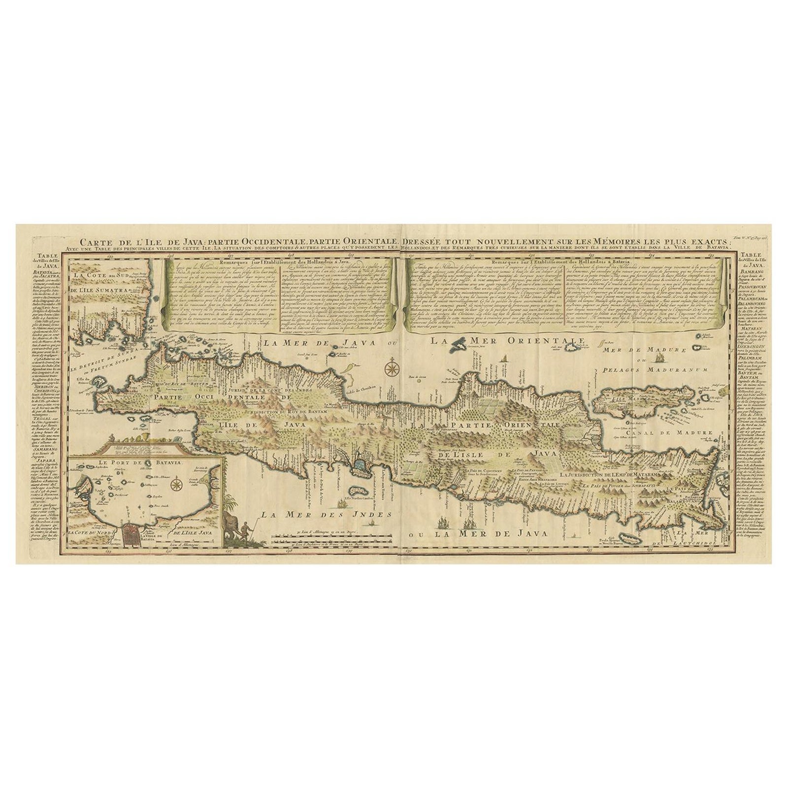
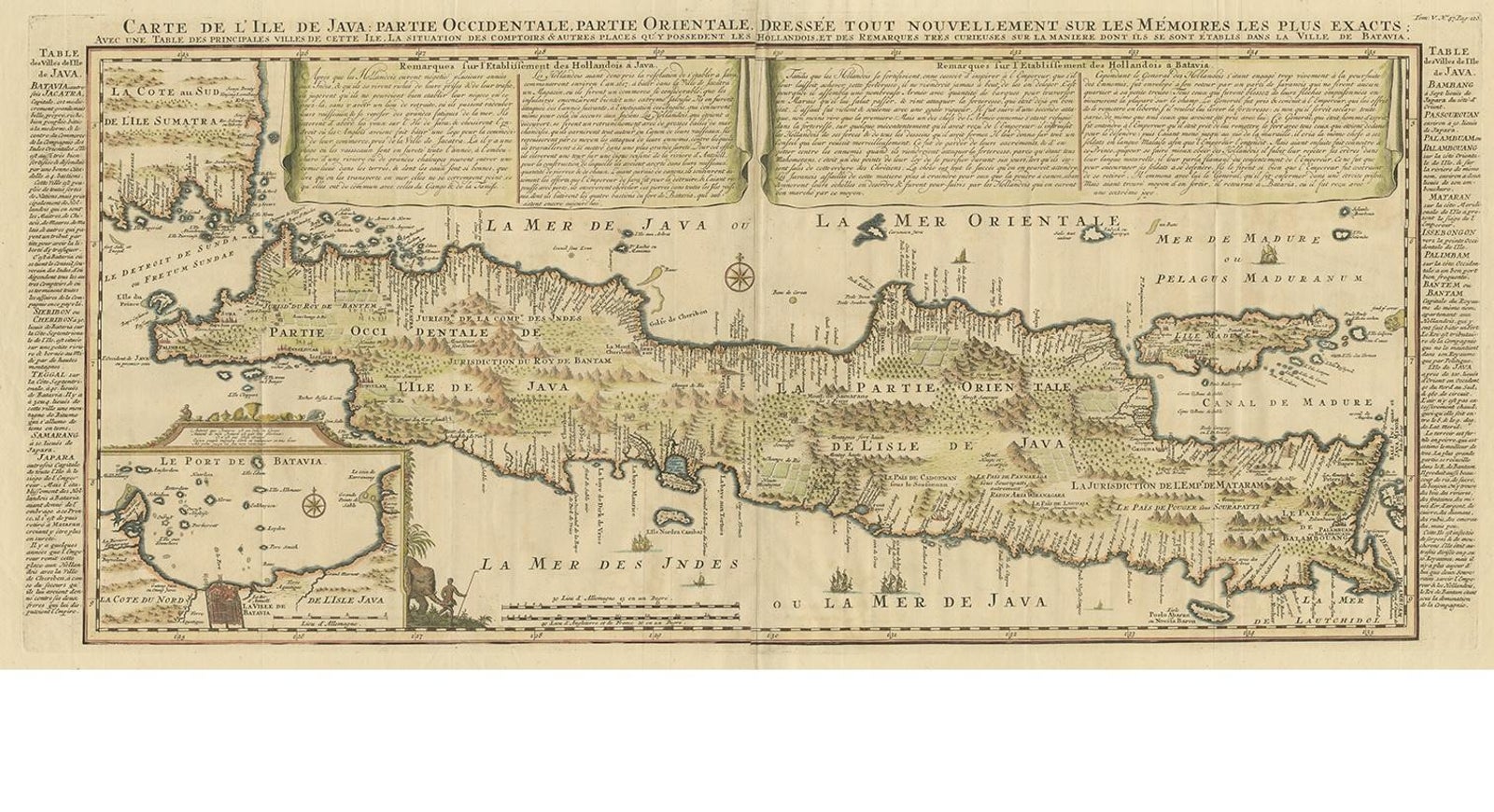
Antique French Map of Java, Indonesia by Chatelain, '1719'
$2,140
€1,914 · £1,600
Original print, not a reproduction
Ships worldwide from the Netherlands, insured and tracked. 14-day returns.
- Date
- 1719
- Sheet size
- 17.5 × 36.8 in (44.5 × 93.5 cm)
- Condition
- Good. General age-related toning, blank verso. Please study images carefully.
- Island
- Java
- Collection
- Maps and Sea Charts
- Period
- The Company, 1700 to 1799
- Stock no.
- f_17506161
What the condition grades mean
- Excellent
- Bright and clean, with no faults worth mentioning.
- Very good
- Only light signs of age, such as faint toning.
- Good
- Normal signs of age for a sheet of this period: toning, some foxing, small marks or neat old repairs.
- Fair
- Clear faults such as staining, tears or repairs, priced to match.
Every fault we see is written in the condition note, and the whole sheet is shown uncropped in the photos.
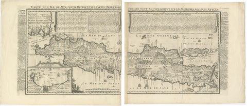
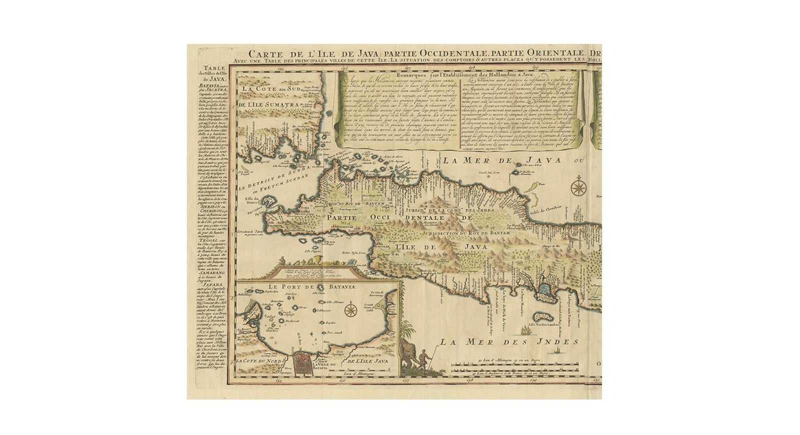
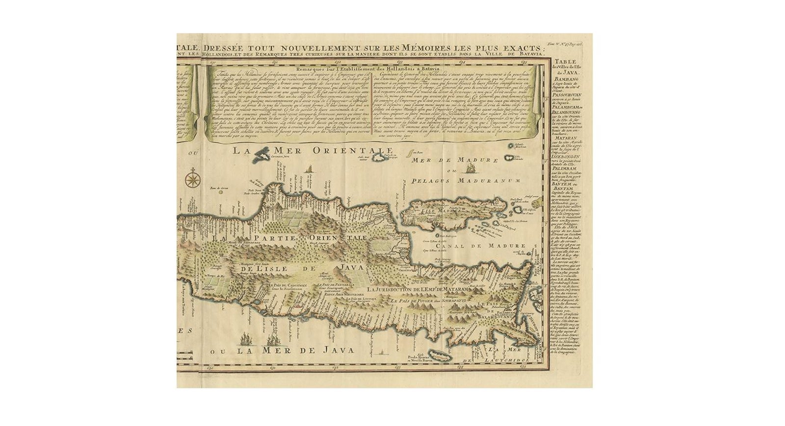
Antique map titled 'Carte de l'Ile de Java: Partie Occidentale, Partie Orientale, Dressee tout Nouvellement Sur Les Memoires Les Plus Exacts (..)'. This beautiful map of Java (Indonesia) exists of two sheets, joined together. It also shows a large portion of Sumatra and Bali. It shows the entire island of Java with such detail that even rice plantations, grazing lands, and forests are included with accuracy. The city and port of Batavia (Jakarta) can be found in the northwest portion of the island as well as in a large insert in the lower left portion of the map. Above the map are two drapery style title banners written by Gueudeville, that present the history of the island as well as the presence of the Dutch.
Explore