Close-ups
Framed and on the wall
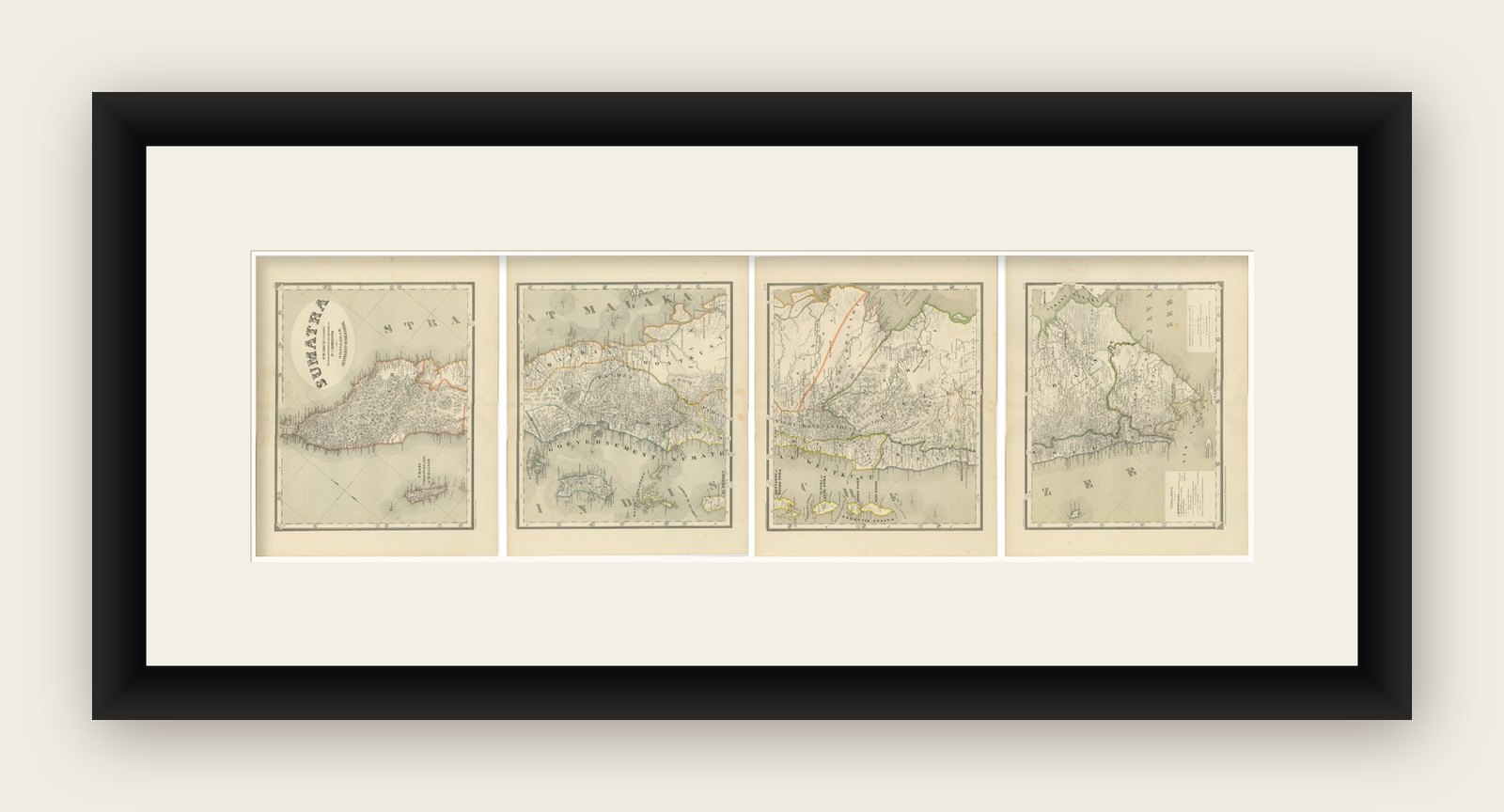


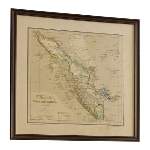
Frame and rooms are illustrations of how the print could look, drawn to its real size; it is sold unframed unless the description says otherwise.
Maps and Sea Charts
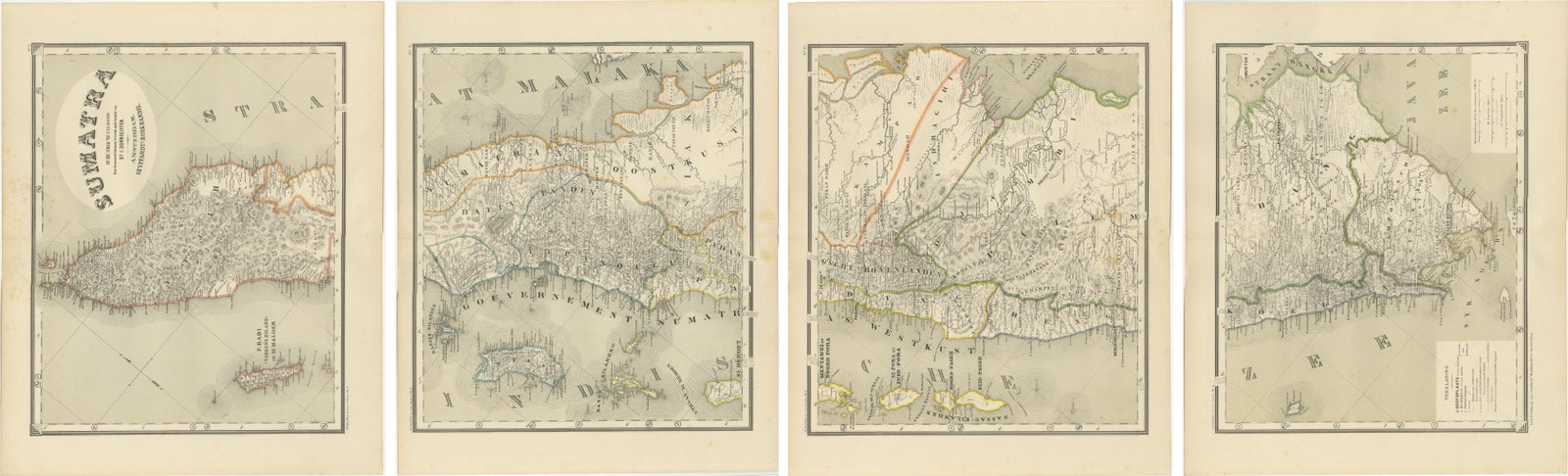
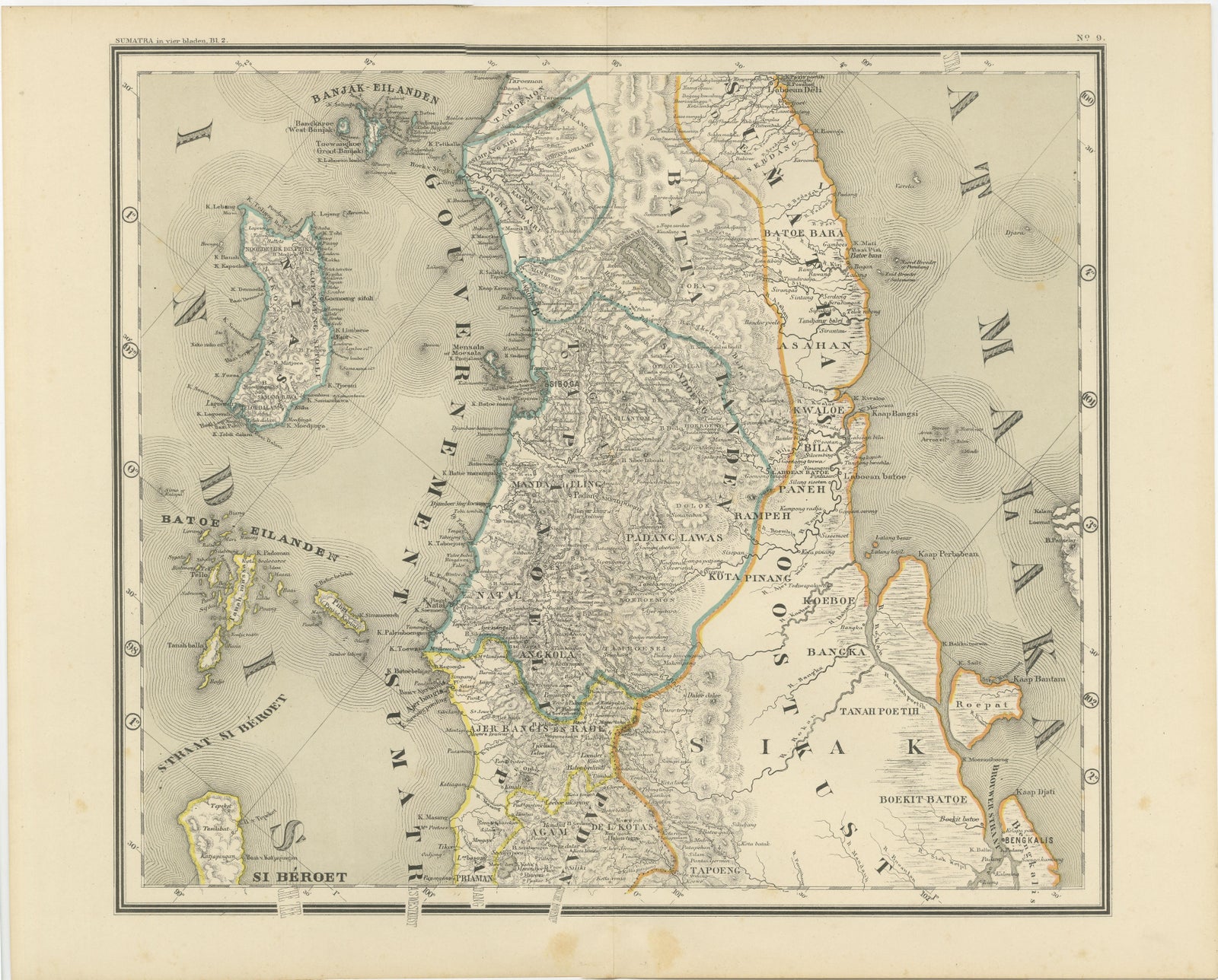
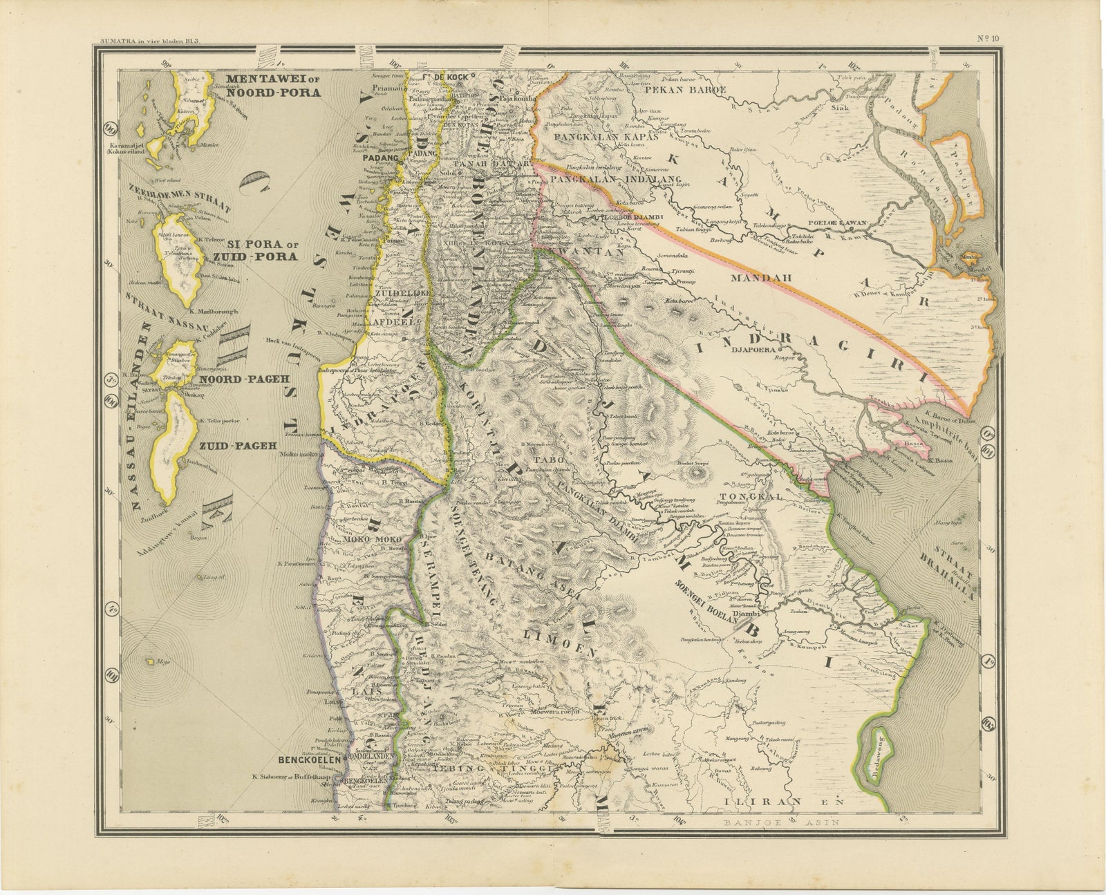
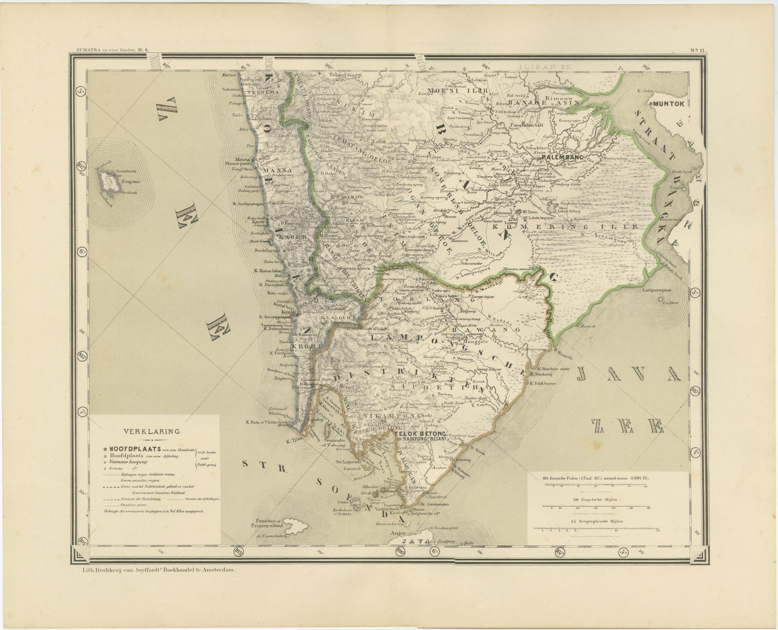
An Impressive Four-Sheet Map Set of Sumatra from the Dutch East Indies, 1884
$860
€770 · £645
Original print, not a reproduction
Ships worldwide from the Netherlands, insured and tracked. 14-day returns.
- Date
- 1884
- Sheet size
- 19.1 × 15.4 in (48.5 × 39 cm)
- Condition
- Good. All four maps are in good original condition with light, scattered foxing consistent with age. No tears, no losses to the printed image, and no heavy staining. Margins are ample and clean. Overall a very attractive and fully frame-worthy set.
- Island
- Sumatra
- Collection
- Maps and Sea Charts
- Period
- Netherlands Indies, 1850 and after
- Stock no.
- f_47872172
- Color
- Hand colored
What the condition grades mean
- Excellent
- Bright and clean, with no faults worth mentioning.
- Very good
- Only light signs of age, such as faint toning.
- Good
- Normal signs of age for a sheet of this period: toning, some foxing, small marks or neat old repairs.
- Fair
- Clear faults such as staining, tears or repairs, priced to match.
Every fault we see is written in the condition note, and the whole sheet is shown uncropped in the photos.
Four Matching Antique Maps Revealing the Full Coastline of Sumatra
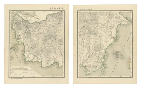
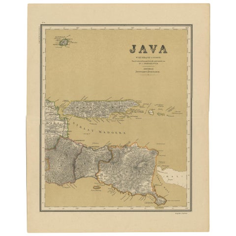
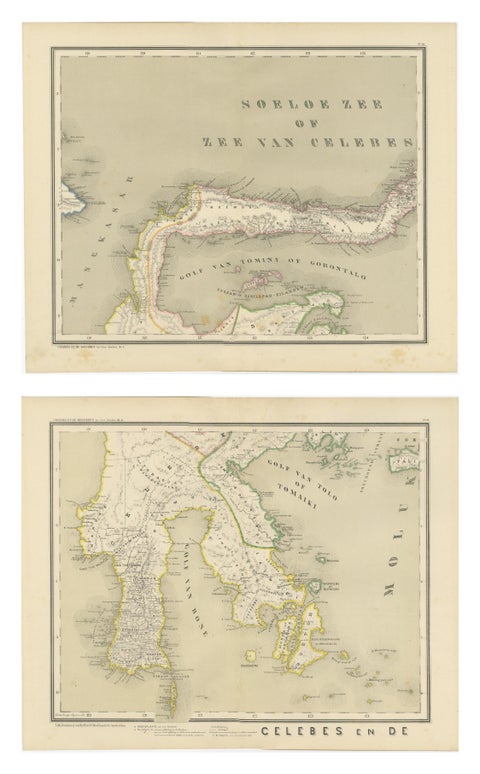
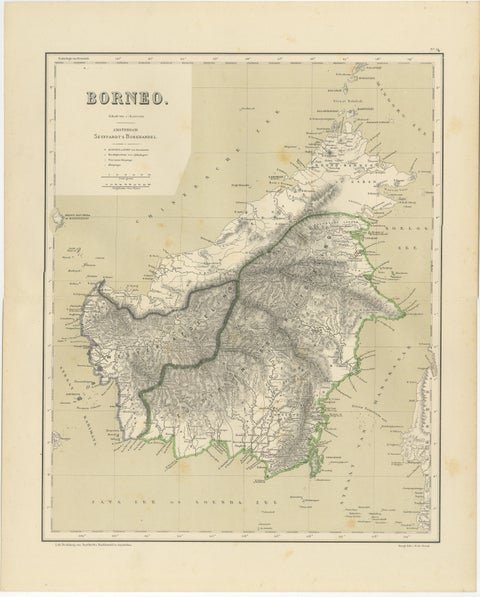
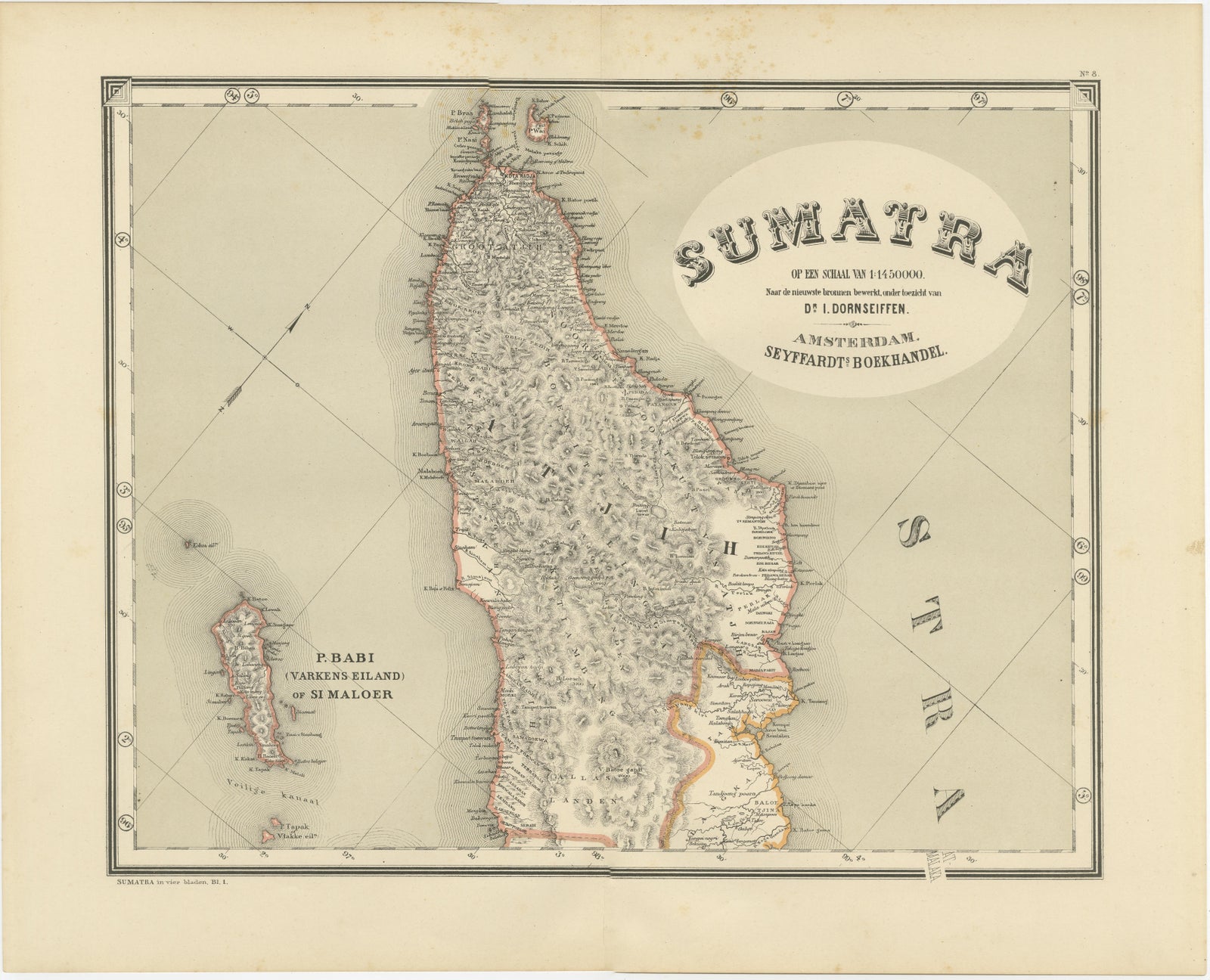
This impressive four-sheet map set presents a complete late 19th century cartographic survey of the island of Sumatra and its surrounding island groups, shown across four large, matching sheets designed to be viewed together as one continuous composition. When assembled, the maps reveal the full length of Sumatra from north to south, including the Mentawai Islands, Bangka, Billiton, and the adjacent Sumatran coastline along the Strait of Malacca and the Indian Ocean.
Note: We sell this maps as loose sheets and not in a frame!
These maps originate from the important colonial reference work “Atlas van Nederlandsch Oost- en West-Indië,” published in Amsterdam in 1884 under the direction of I. Dornseiffen. The atlas was produced to serve as a modern administrative and geographic survey of the Dutch East Indies at a time when infrastructure, river routes, and regional borders were of critical economic and political importance. As such, the mapping is exceptionally detailed, showing dense river systems, coastal soundings, mountain ranges, settlements, and clearly defined administrative boundaries highlighted in original hand color.
Each sheet is finely lithographed and hand-colored, with consistent scale, coloring, and engraving style, allowing the four maps to function as a unified panorama. Displayed together, they create a dramatic and highly decorative wall presentation that combines strong visual impact with rich historical context. Multi-sheet island sets of this size and coherence are increasingly difficult to assemble and are especially sought after by collectors of Southeast Asian cartography, colonial history, and large-format wall maps.
This set is equally suited for a private collection, a study or library, or for striking display in an office, gallery, or hospitality interior with an interest in Indonesia and the Dutch colonial period.
Condition report
All four maps are in good original condition with light, scattered foxing consistent with age. No tears, no losses to the printed image, and no heavy staining. Margins are ample and clean. Overall a very attractive and fully frame-worthy set.
Note: We sell this maps as loose sheets and not in a frame!
Framing tips
This four-sheet set is ideal for vertical presentation in four aligned frames, or as a horizontal panoramic sequence. Soft off-white or warm cream museum mats will enhance the original paper tone, paired with thin black, dark walnut, or brushed brass frames for a refined colonial-era aesthetic.
Technique: Hand-colored lithograph
Maker: After I. Dornseiffen, Amsterdam, 1884
Explore