Close-ups
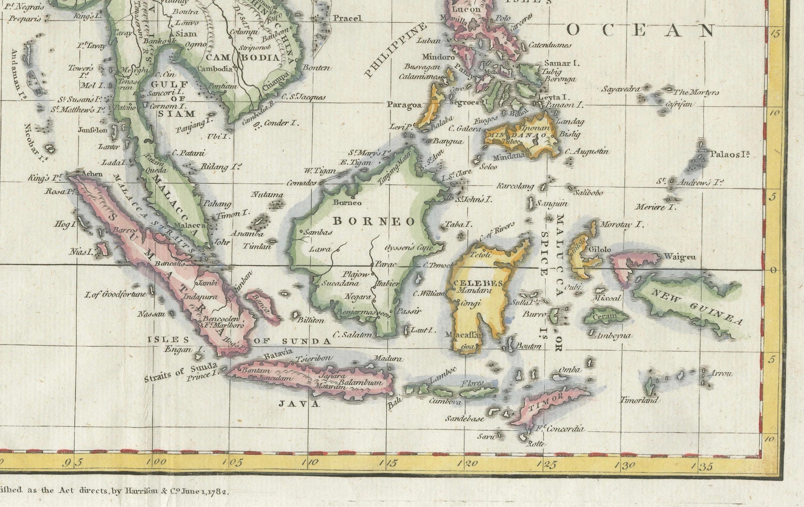
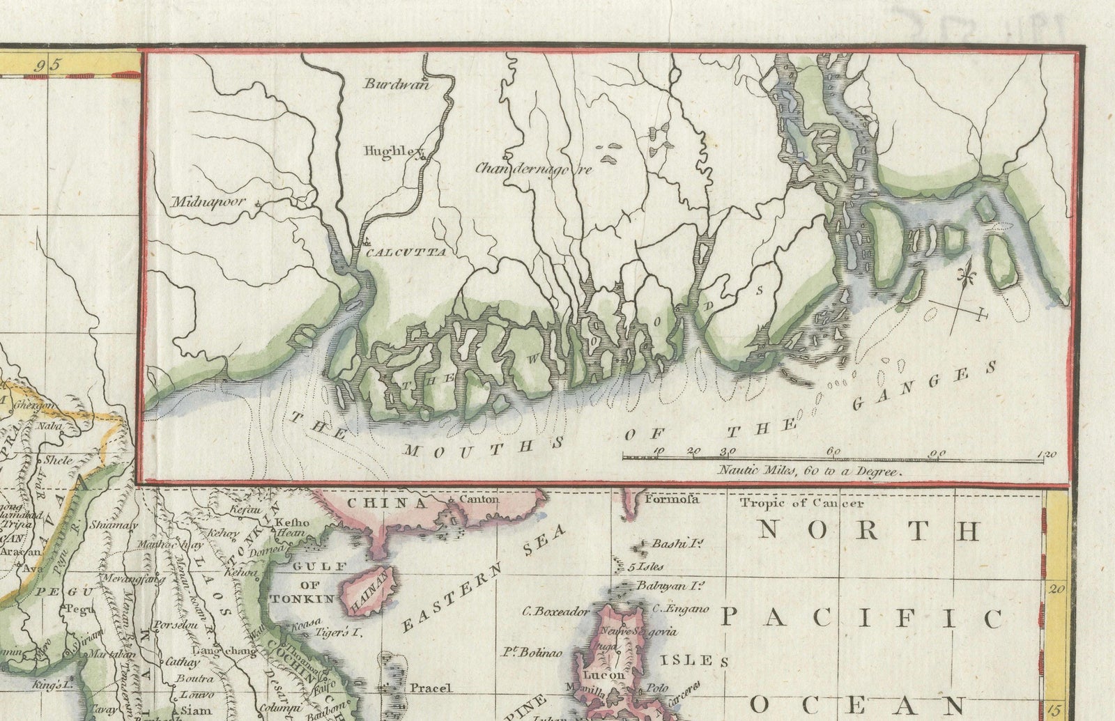
Framed and on the wall
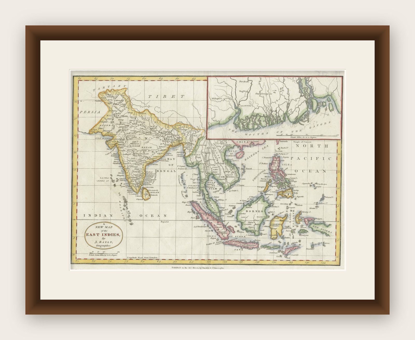


Frame and rooms are illustrations of how the print could look, drawn to its real size; it is sold unframed unless the description says otherwise.
Maps and Sea Charts
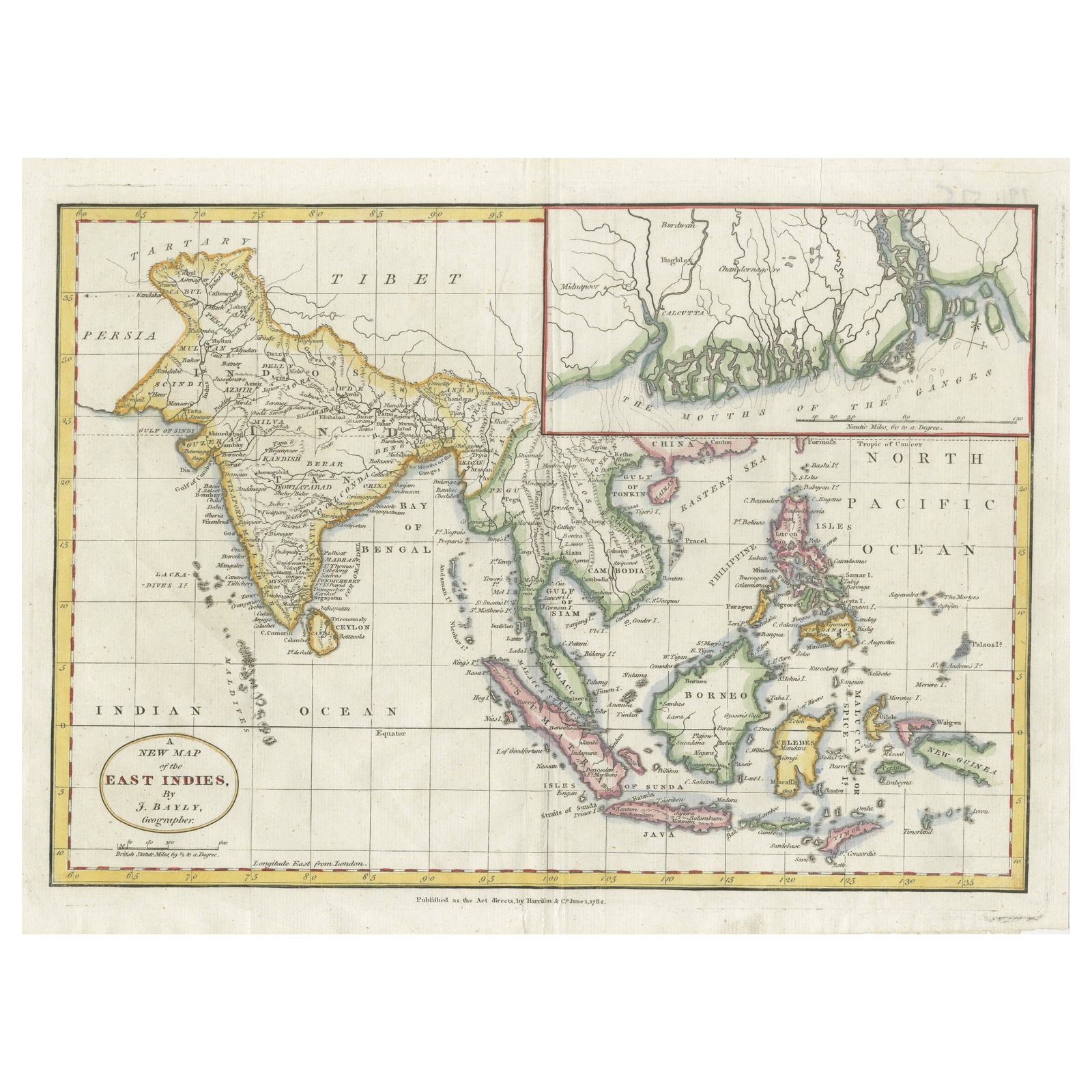
1782 Map of the East Indies, India, Siam, Philippines, Java, Borneo, Ganges
Borneo is now Kalimantan.
£275
$370 · €330
Original print, not a reproduction
Ships worldwide from the Netherlands, insured and tracked. 14-day returns.
- Date
- 1782
- Sheet size
- 10.2 × 13.6 in (26 × 34.5 cm)
- Condition
- Good. The map features strong plate impressions, vivid original hand coloring, and finely engraved detail throughout. The condition is very good with light age toning, original fold lines, and only minimal margin wear. It is printed on laid paper.
- Island
- Java, Borneo
- Place names
- Borneo is now Kalimantan
- Collection
- Maps and Sea Charts
- Period
- The Company, 1700 to 1799
- Stock no.
- f_44557492
- Color
- Hand colored
What the condition grades mean
- Excellent
- Bright and clean, with no faults worth mentioning.
- Very good
- Only light signs of age, such as faint toning.
- Good
- Normal signs of age for a sheet of this period: toning, some foxing, small marks or neat old repairs.
- Fair
- Clear faults such as staining, tears or repairs, priced to match.
Every fault we see is written in the condition note, and the whole sheet is shown uncropped in the photos.
1782 Bayly Map of the East Indies, India, Siam, Philippines, Java, Borneo, Ganges
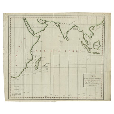
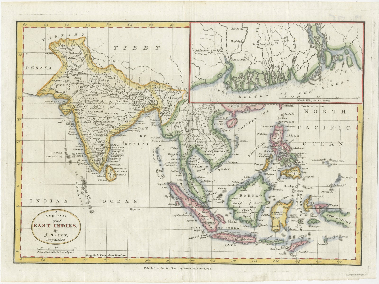
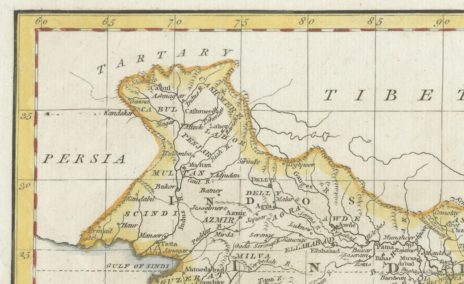
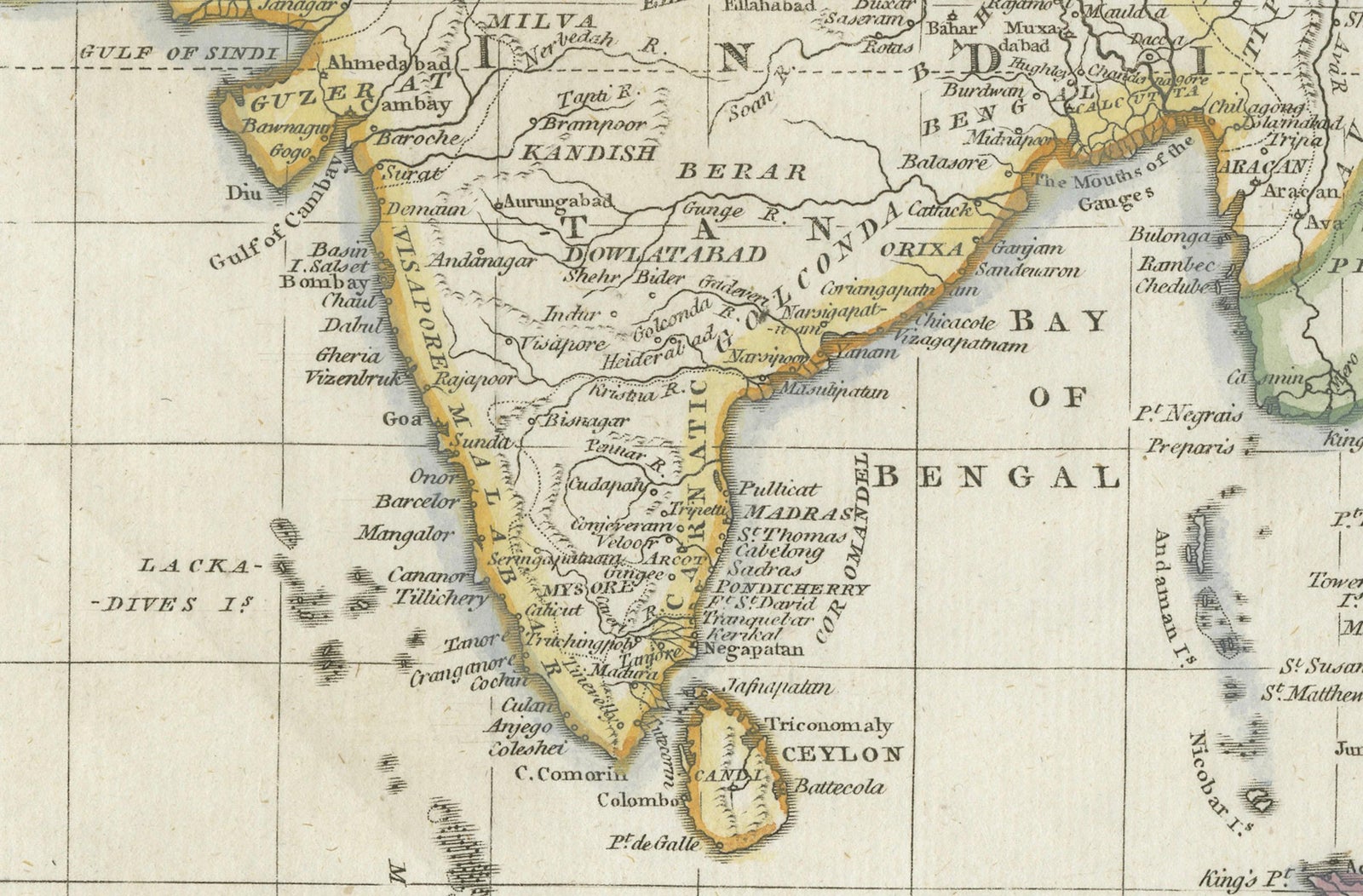
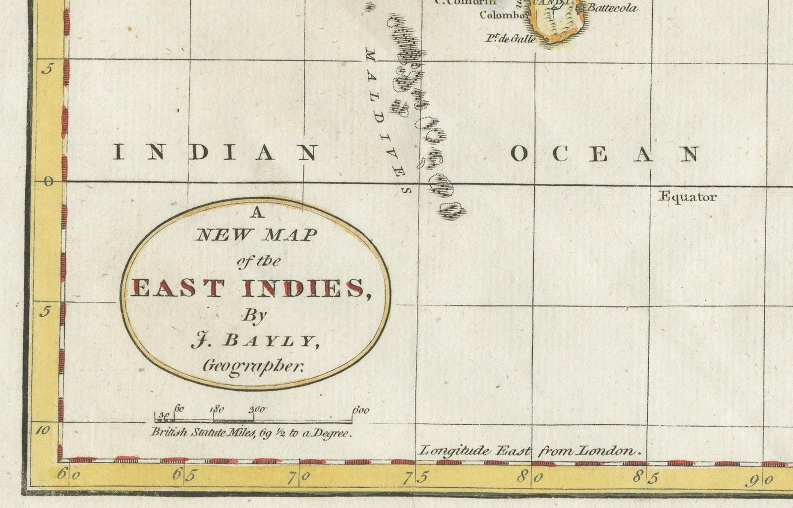
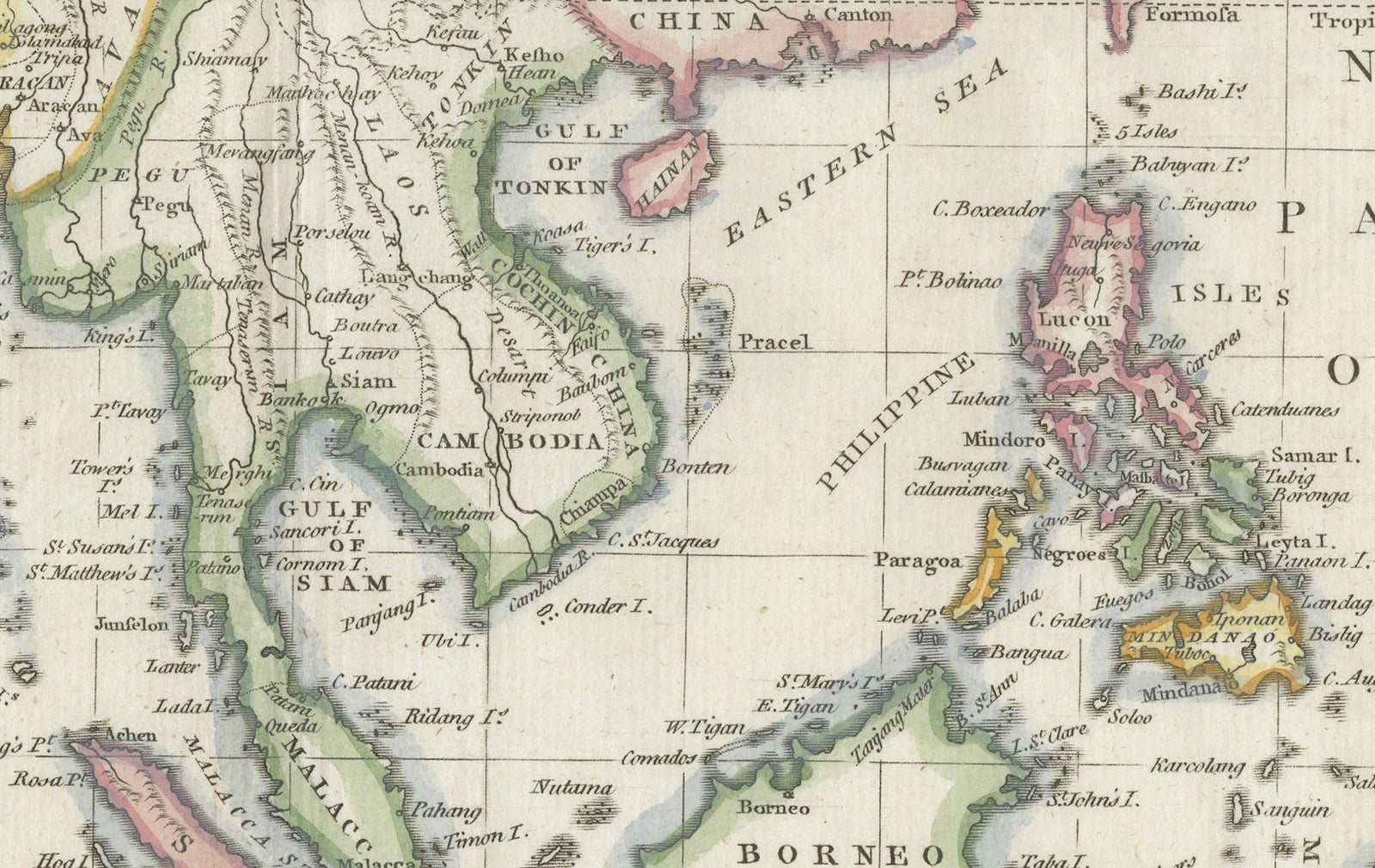
This finely engraved and vibrantly hand-colored map titled 'A New Map of the East Indies' was drawn by John Bayly and published in London by Harrison & Co. on June 1, 1782. The map spans the region from Persia and Afghanistan in the northwest to New Guinea and the western Pacific in the southeast, focusing on Southeast Asia and the Bay of Siam.
The map covers a broad and historically rich area, including India, Ceylon (Sri Lanka), Burma (Myanmar), Siam (Thailand), Malacca (Malaysia), Sumatra, Java, Borneo, the Philippines, and parts of China, including Canton. It includes important colonial and trade centers of the 18th century, such as Batavia (Jakarta), Goa, and Manilla. Notably, Singapore is not yet named, but Johor (spelled "Johr") is marked, reflecting the geopolitical landscape of the time.
An elegant inset in the upper right corner provides a detailed view of the Mouths of the Ganges, showing Calcutta and the river delta with an intricate depiction of river branches and settlements. The map is drawn on a Mercator projection and includes latitude and longitude markings with a scale at bottom.
This is an uncommon and desirable piece for collectors interested in 18th-century cartography, maritime trade history, or the colonial period in Asia. Bayly's map offers a valuable snapshot of European understanding of the East Indies during the late Enlightenment era.
The map features strong plate impressions, vivid original hand coloring, and finely engraved detail throughout. The condition is very good with light age toning, original fold lines, and only minimal margin wear. It is printed on laid paper, typical of the period.
Here are short tips for framing this 1782 Bayly map of the East Indies:
- Use acid-free mat and backing to protect the paper
- Choose a light cream or ivory mat to highlight the hand coloring
- A simple dark wood or black frame complements the antique style
- Consider float mounting to show the full plate and any original folds
- Use UV-protective glass to prevent fading
- Keep the map away from direct sunlight and humidity for preservation
Explore