Collection
Maps and Sea Charts
Maps and charts of the archipelago from Münster's woodcut of Sumatra of about 1590 to the Dornseiffen atlas of 1884: Blaeu and Janssonius, Valentijn's island maps of 1726, Bellin and Mannevillette for the French navy, and the town plans of Batavia.
53 sheets
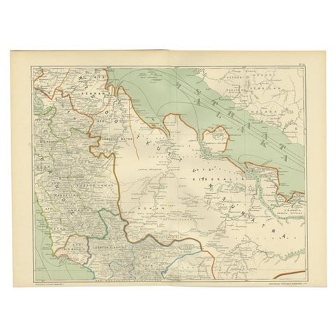
Maps and Sea Charts · Sumatra
Antique Map of the East Coast of Sumatra , Indonesia, 1900
1900 · 51.5 × 38.9 cm$130
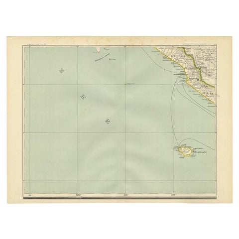
Maps and Sea Charts · Sumatra
Antique Map of the Region of Bengkulu in Indonesia, 1900
1900 · 52.4 × 38.7 cm$105
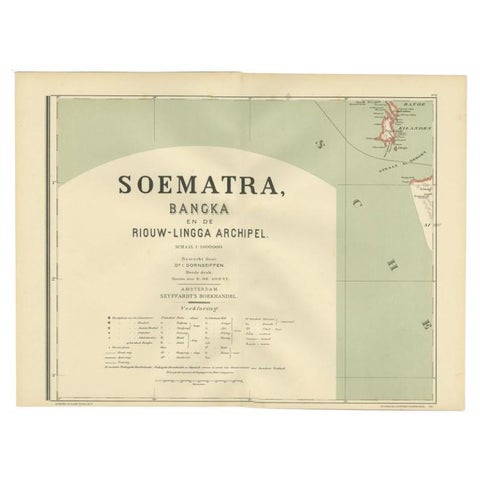
Maps and Sea Charts · Sumatra
Antique Map of the Batu Islands by Dornseiffen, 1900
1900 · 52 × 38.9 cm$95
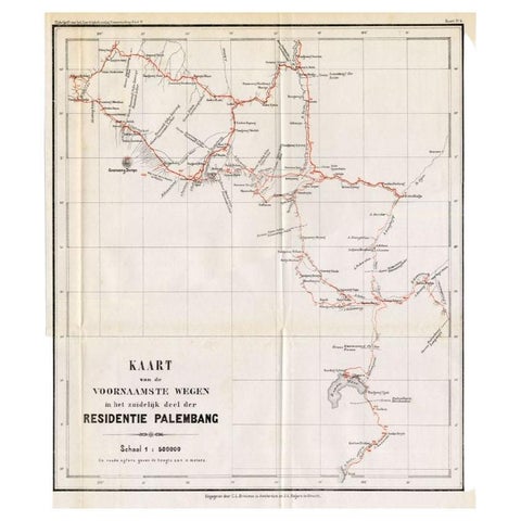
Maps and Sea Charts · Sumatra
Antique Map of the Main Roads of Palembang by Stemler, c.1875
1875 · 37 × 42.5 cm$85
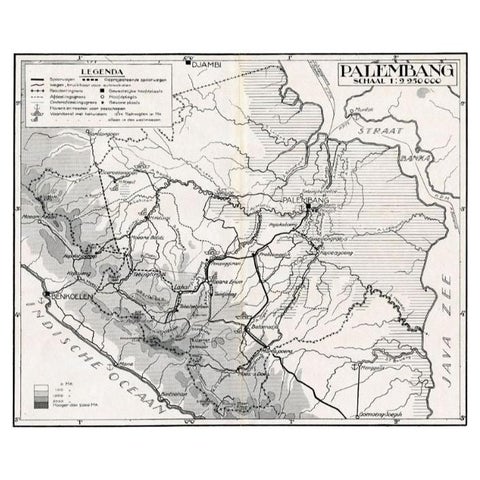
Maps and Sea Charts · Sumatra
Antique Map of the Palembang Area, c.1900
1900 · 31 × 24 cm$80