Collection
Maps and Sea Charts
Maps and charts of the archipelago from Münster's woodcut of Sumatra of about 1590 to the Dornseiffen atlas of 1884: Blaeu and Janssonius, Valentijn's island maps of 1726, Bellin and Mannevillette for the French navy, and the town plans of Batavia.
64 sheets
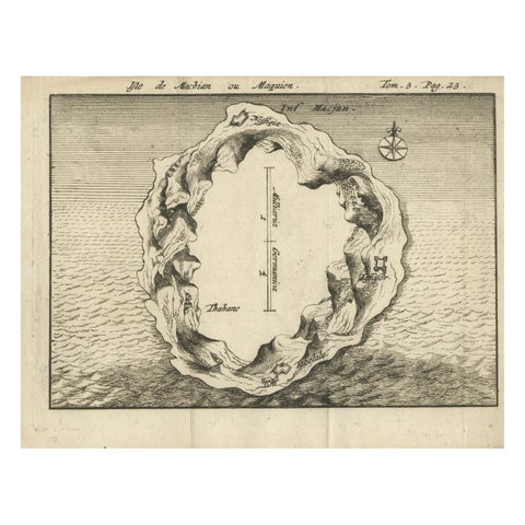
Maps and Sea Charts · Moluccas
Antique Map of Macjan or Makian Island in the Moluccas, Indonesia, c.1740
1740 · 16 × 21 cm€230
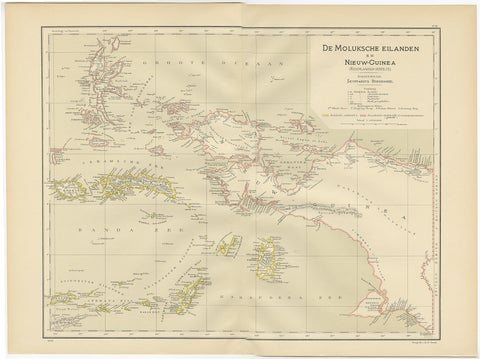
Maps and Sea Charts · Moluccas
Antique Map of the Moluccas and Irian Jaya (Papua), Indonesia, 1900
1900 · 52.2 × 38.9 cm€224
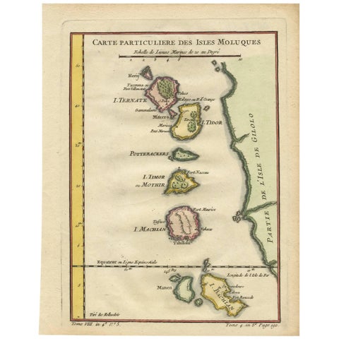
Maps and Sea Charts · Moluccas
Antique Map of the Moluques Islands, Part of Indonesia, circa 1750
1750 · 19.4 × 25.2 cm€210
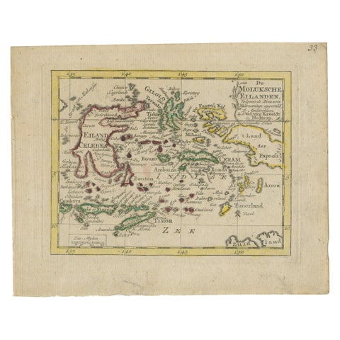
Maps and Sea Charts · Moluccas
Antique Miniature Map of the Maluku Islands by Van Esveldt & Holtrop 'c.1790'
1790 · 16 × 12.5 cm€200
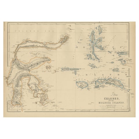
Maps and Sea Charts · Celebes
Antique Map of Celebes and the Maluku Islands by W. G. Blackie, 1859
1859 · 37 × 27 cm€200
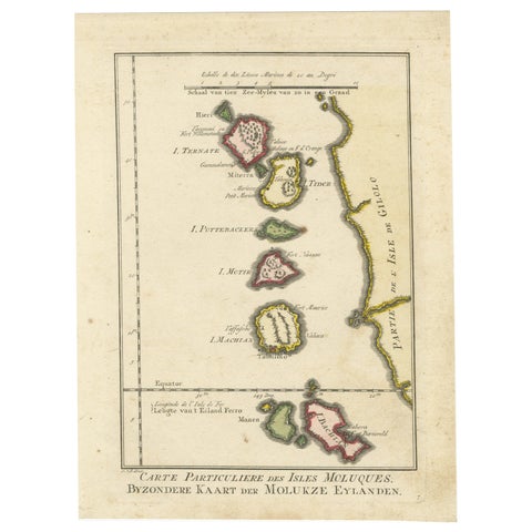
Maps and Sea Charts · Moluccas
Old Map of the Spice Islands, Moluccas by Bellin, Published in 1771
1771 · 19.6 × 26.3 cm€200
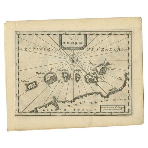
Maps and Sea Charts · Moluccas
Antique Map of the Maluku Islands by Van der Aa, 1714
1714 · 23.3 × 18.5 cm€199
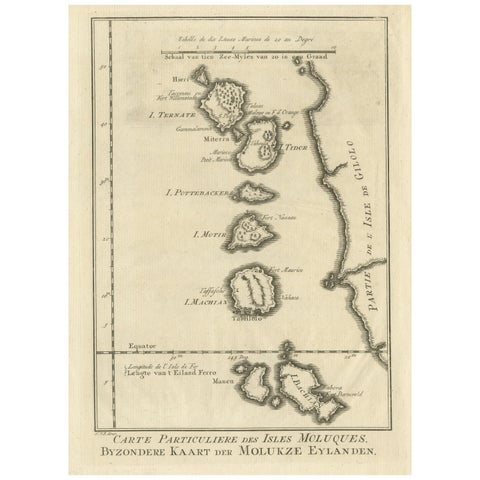
Maps and Sea Charts · Moluccas
Original Antique Map of the Maluku Islands or Moluccas
Date not stated · 19.2 × 25.5 cm€190
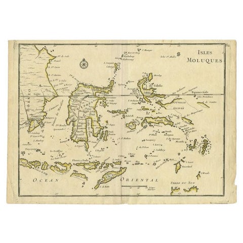
Maps and Sea Charts · Moluccas
Antique Map of the Maluku Islands by Le Rouge, c.1750
1750 · 30.2 × 21.8 cm€158
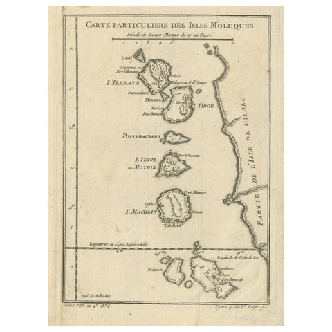
Maps and Sea Charts · Moluccas
Antique Map of the Maluku Islands or Moluccas, Indonesia
Date not stated · 18.2 × 25.6 cm€150
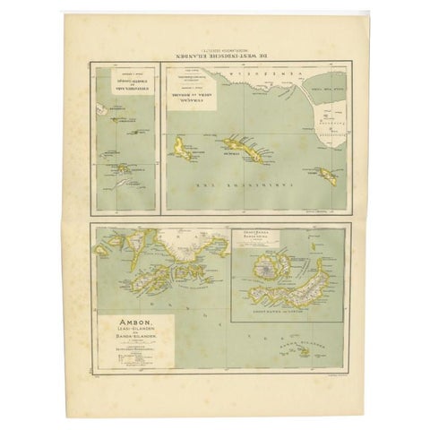
Maps and Sea Charts · Moluccas
Antique Map of the West Indies and Ambon in Indonesia, 1900
1900 · 38.7 × 51.9 cm€140
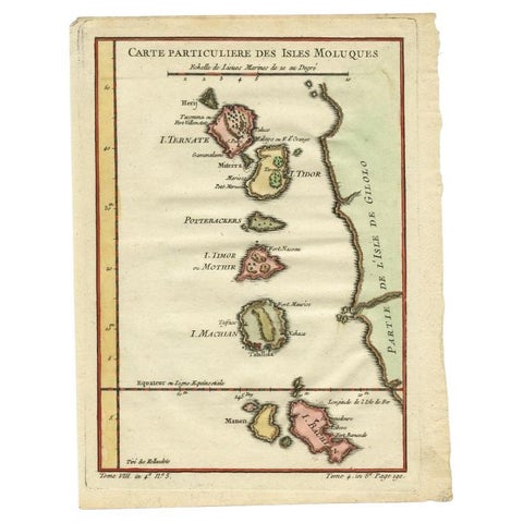
Maps and Sea Charts · Moluccas
Antique Map of the Maluku Islands by Bellin, c.1750
1750 · 18.5 × 24.5 cm€125
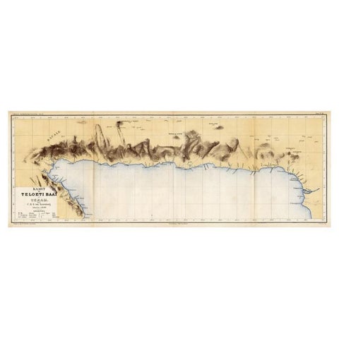
Maps and Sea Charts · Moluccas
Antique Map of Taluti Bay by Stemler, C.1875
1875 · 76 × 27.5 cm€123
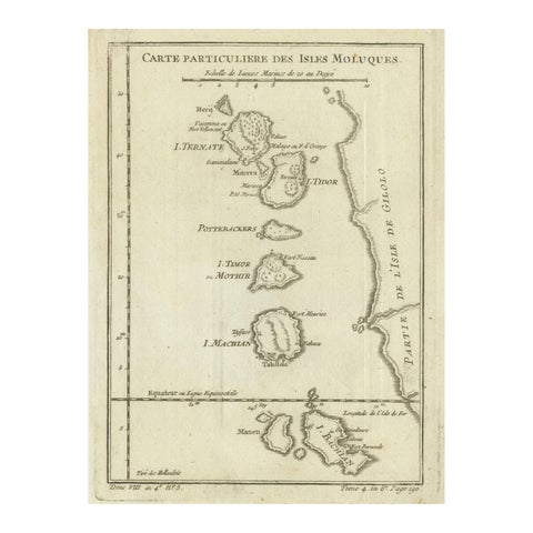
Maps and Sea Charts · Moluccas
Antique Map of the Moluccas (Maluku Islands), Indonesia, Bellin, 18th Century
Date not stated · 17.9 × 24.6 cm€110
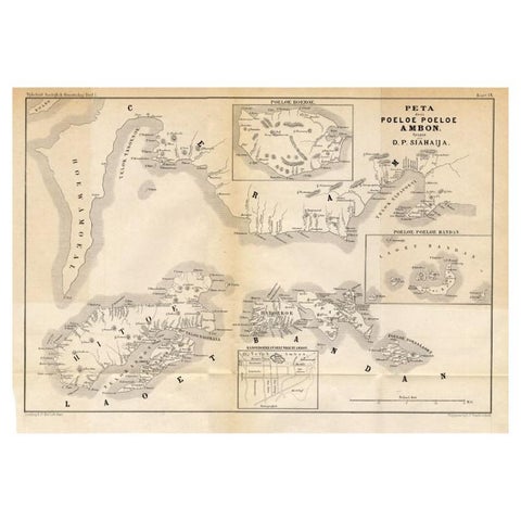
Maps and Sea Charts · Moluccas
Antique Map of the Maluku Islands 'Ambon' by Stemler, 1874
1874 · 46.5 × 32 cm€100
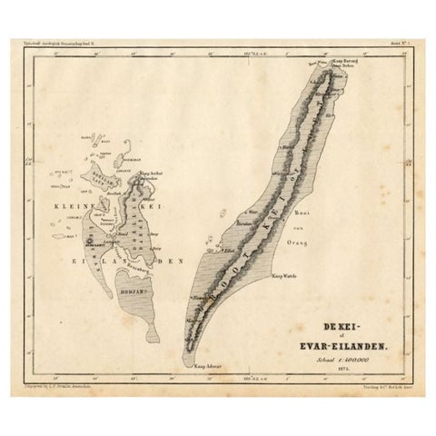
Maps and Sea Charts · Moluccas
Antique Map of the Kai Islands by Stemler, c.1875
1875 · 27.5 × 22 cm€63