Collection
Maps and Sea Charts
Maps and charts of the archipelago from Münster's woodcut of Sumatra of about 1590 to the Dornseiffen atlas of 1884: Blaeu and Janssonius, Valentijn's island maps of 1726, Bellin and Mannevillette for the French navy, and the town plans of Batavia.
5 sheets
Maps and Sea Charts · New Guinea
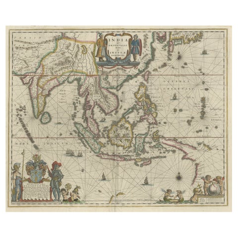
Original Blaeu Map of Southeast Asia from India to Tibet and Japan to New Guinea
1635 · 60 × 49.5 cm€3,500
Maps and Sea Charts · New Guinea
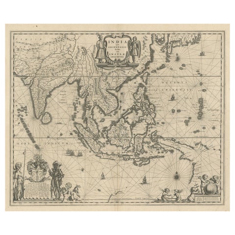
Map of Southeast Asia, Extending from India to Tibet & Japan to New Guinea, 1640
1640 · 60 × 50.5 cm€2,650
Maps and Sea Charts · New Guinea
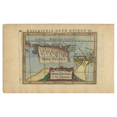
Antique Miniature Map of New Guinea by Bertius, '1618'
1618 · 20 × 12.5 cm€650
Maps and Sea Charts · New Guinea
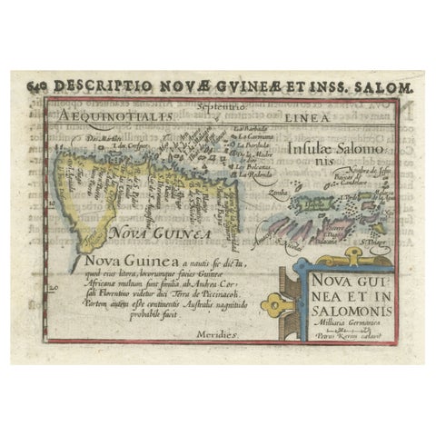
Rare Original Miniature Map of Papua New Guinea and the Salomon Islands, 1600
1600 · 18 × 12 cm€540
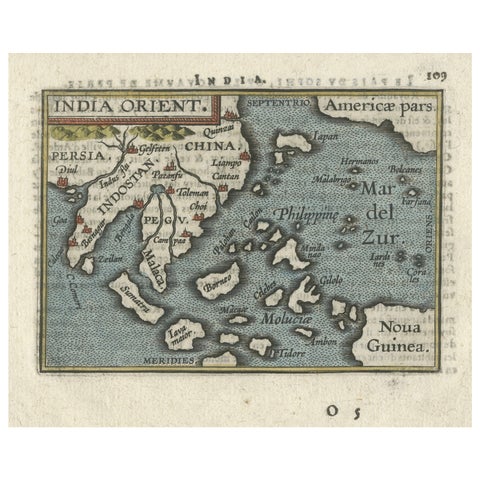
Maps and Sea Charts · New Guinea
1601 Miniature Map of Southeast Asia & Nova Guinea by Ortelius, Vrients Edition
1601 · 15.5 × 12 cm€540