Collection
Maps and Sea Charts
Maps and charts of the archipelago from Münster's woodcut of Sumatra of about 1590 to the Dornseiffen atlas of 1884: Blaeu and Janssonius, Valentijn's island maps of 1726, Bellin and Mannevillette for the French navy, and the town plans of Batavia.
21 sheets
Maps and Sea Charts · Sumatra
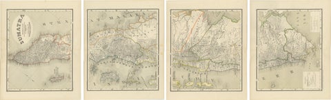
An Impressive Four-Sheet Map Set of Sumatra from the Dutch East Indies, 1884
1884 · 39 × 48.5 cm€770
Maps and Sea Charts · Sumatra
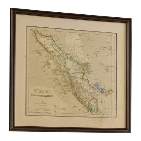
Antique Map of Sumatra, Bangka Belitung and Riau in the Dutch East Indies, 1884
1884 · 48.5 × 39 cm€440
Maps and Sea Charts · Sumatra
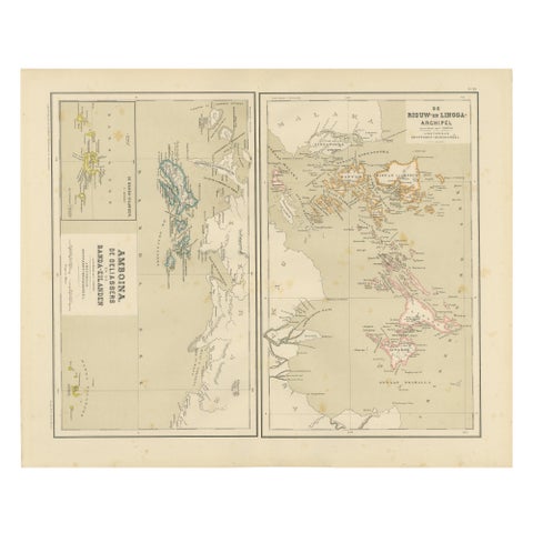
Antique Map of Riouw, Lingga Archipelago, Singapore, Banda by Dornseiffen, 1884
1884 · 48.5 × 39 cm€340
Maps and Sea Charts · Sumatra
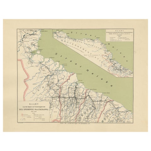
Deli Railway System Map, East Sumatra, Deli Spoorweg Maatschappij, c.1910
1910 · 45 × 34 cm€330
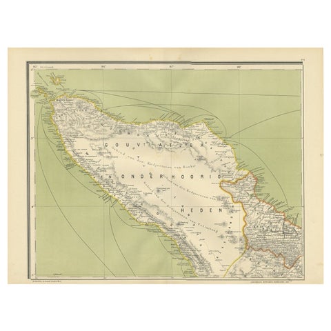
Maps and Sea Charts · Sumatra
Antique Map of Aceh or Adjeh in Northern Sumatra, Indonesia, 1900
1900 · 52.2 × 38.9 cm€290
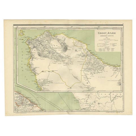
Maps and Sea Charts · Sumatra
Antique Map of Aceh in Sumatra, Indonesia, 1900
1900 · 52 × 38.9 cm€290
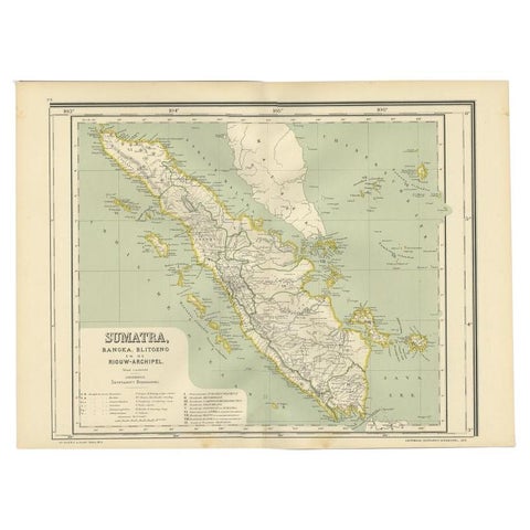
Maps and Sea Charts · Sumatra
Antique Map of West Sumatra, Indonesia, 1900
1900 · 53.8 × 38.9 cm€290
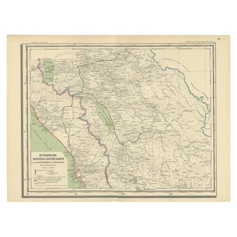
Maps and Sea Charts · Sumatra
Antique Map of Padang, Sumatra, Indonesia, 1900
1900 · 53 × 38 cm€280
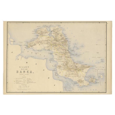
Maps and Sea Charts · Sumatra
Antique Map of Bangka Island, Indonesia, 1885
1885 · 63 × 48 cm€272
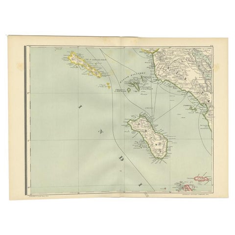
Maps and Sea Charts · Sumatra
Antique Map of the Nias Archipelago, Sumatra, Indonsia, 1900
1900 · 52.6 × 38.9 cm€240
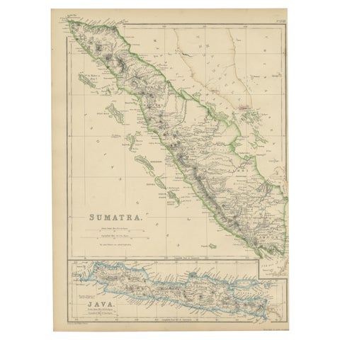
Maps and Sea Charts · Sumatra
Antique Map of Sumatra by W. G. Blackie, 1859
1859 · 27 × 37 cm€200
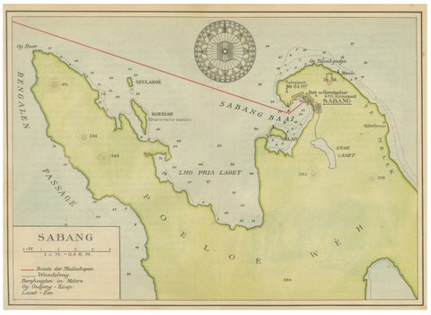
Maps and Sea Charts · Sumatra
Sabang Bay & Pulau Weh, Antique Dutch Colonial Map of Sumatra, Indonesia, 1910
1910 · 24.7 × 17.9 cm€190
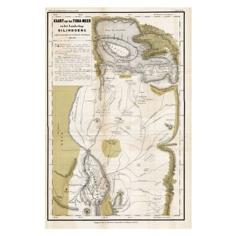
Maps and Sea Charts · Sumatra
Scarce Antique Map of Lake Toba and Silindoeng on Sumatra, Indonesia, c.1875
1875 · 80 × 50 cm€166
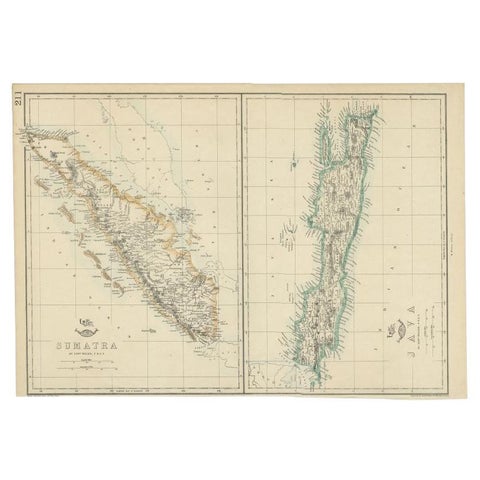
Maps and Sea Charts · Java
Antique Map of Sumatra and Java by Weller, c.1860
1860 · 47 × 32.5 cm€133
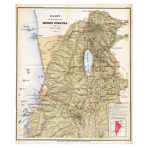
Maps and Sea Charts · Sumatra
Antique Map of Part of Sumatra by Stemler, c.1875
1875 · 45 × 56 cm€123
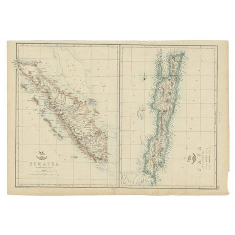
Maps and Sea Charts · Java
Antique Map of Sumatra and Java by Weller, c.1860
1860 · 48.5 × 34 cm€123
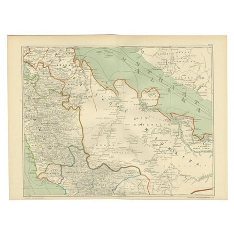
Maps and Sea Charts · Sumatra
Antique Map of the East Coast of Sumatra , Indonesia, 1900
1900 · 51.5 × 38.9 cm€115
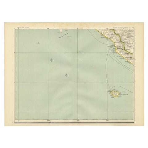
Maps and Sea Charts · Sumatra
Antique Map of the Region of Bengkulu in Indonesia, 1900
1900 · 52.4 × 38.7 cm€93
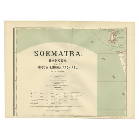
Maps and Sea Charts · Sumatra
Antique Map of the Batu Islands by Dornseiffen, 1900
1900 · 52 × 38.9 cm€85
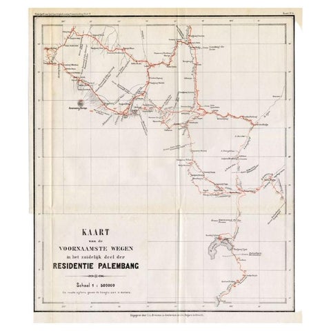
Maps and Sea Charts · Sumatra
Antique Map of the Main Roads of Palembang by Stemler, c.1875
1875 · 37 × 42.5 cm€75
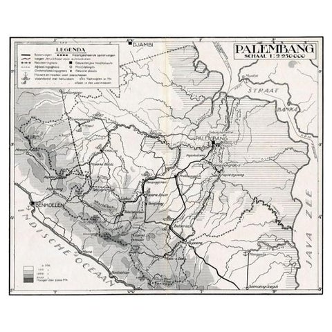
Maps and Sea Charts · Sumatra
Antique Map of the Palembang Area, c.1900
1900 · 31 × 24 cm€73