Collection
Maps and Sea Charts
Maps and charts of the archipelago from Münster's woodcut of Sumatra of about 1590 to the Dornseiffen atlas of 1884: Blaeu and Janssonius, Valentijn's island maps of 1726, Bellin and Mannevillette for the French navy, and the town plans of Batavia.
12 sheets
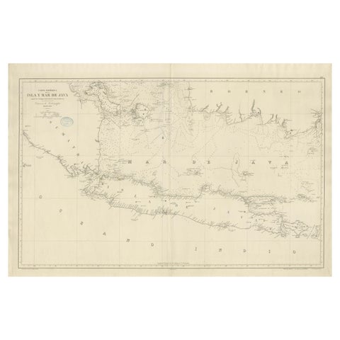
Maps and Sea Charts · Java
Large Chart of the island and sea of Java, Indonesia
1863 · 103 × 69.2 cm$2,800
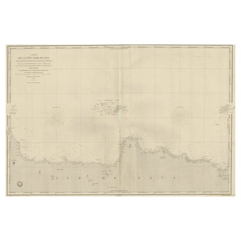
Maps and Sea Charts · Java
Early French Nautical Chart of the Northern Coast of of Java, Indonesia, C.1850
1850 · 98 × 67 cm$1,285
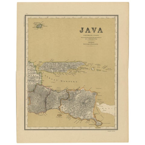
Maps and Sea Charts · Java
Antique Map of Java in 4 sheets by Dornseiffen, 1884
1884 · 39 × 49 cm$660
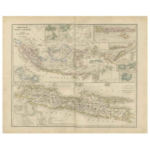
Maps and Sea Charts · Java
Netherlands East Indies Map with Java Inset, Nieuwe Hand-Atlas, 1876
1876 · 55 × 44 cm$460
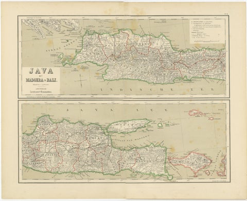
Maps and Sea Charts · Java
Old Map of Java, Madura & Bali, Dutch East Indies Colonial Cartography, 1884
1884 · 48.5 × 39 cm$405
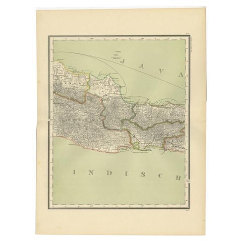
Maps and Sea Charts · Java
Antique Map of Part of Java, Indonesia, 1900
1900 · 38.9 × 51.7 cm$325
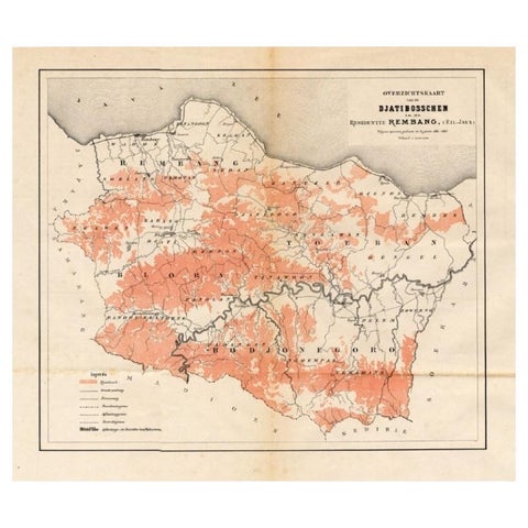
Maps and Sea Charts · Java
Antique Map of the Djati 'teak wood' Forest Near Rembang, Java by Stemler, 1875
1875 · 40 × 34.5 cm$300
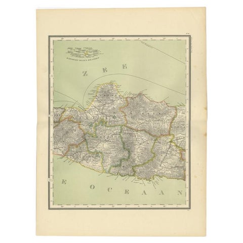
Maps and Sea Charts · Java
Antique Map of Central Java Depicting The Karimun Islands, Indonesia, 1900
1900 · 38.9 × 52.1 cm$290
Maps and Sea Charts · Java
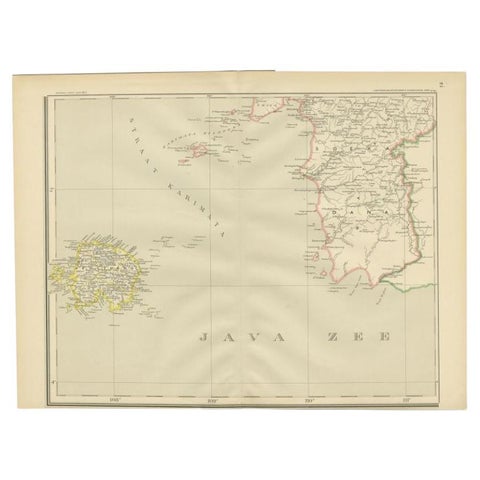
Antique Map of the Java Sea by Dornseiffen, 1900
1900 · 52.4 × 38.6 cm$215
Maps and Sea Charts · Java
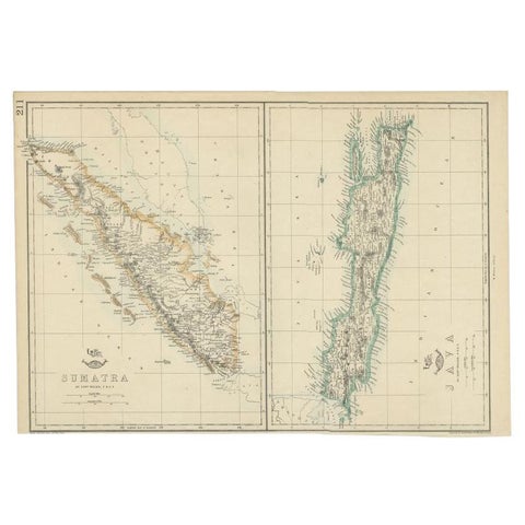
Antique Map of Sumatra and Java by Weller, c.1860
1860 · 47 × 32.5 cm$150
Maps and Sea Charts · Java
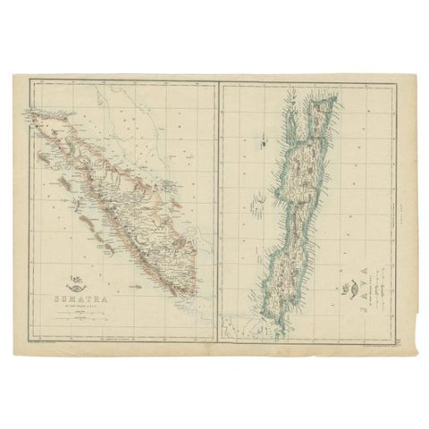
Antique Map of Sumatra and Java by Weller, c.1860
1860 · 48.5 × 34 cm$140
Maps and Sea Charts · Java
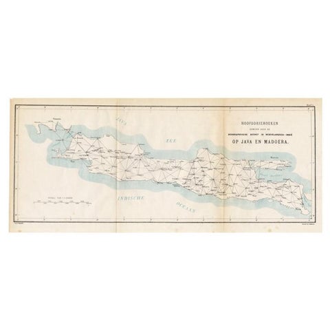
Old Map of Java, Indonesia by Stemler, 1875
1875 · 59 × 27.5 cm$80