Collection
Maps and Sea Charts
Maps and charts of the archipelago from Münster's woodcut of Sumatra of about 1590 to the Dornseiffen atlas of 1884: Blaeu and Janssonius, Valentijn's island maps of 1726, Bellin and Mannevillette for the French navy, and the town plans of Batavia.
7 sheets
Maps and Sea Charts · Celebes
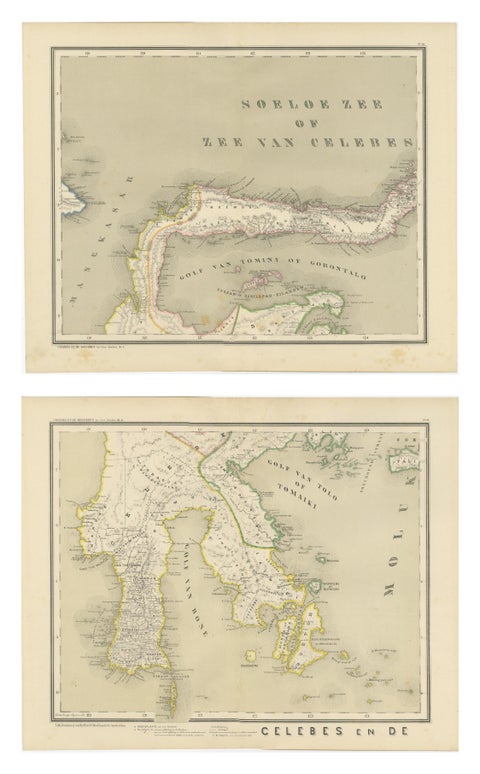
Antique Two-Sheet Map of Celebes Sulawesi, Dornseiffen, Dutch East Indies, 1884
1884 · 48.5 × 39 cm$490
Maps and Sea Charts · Celebes
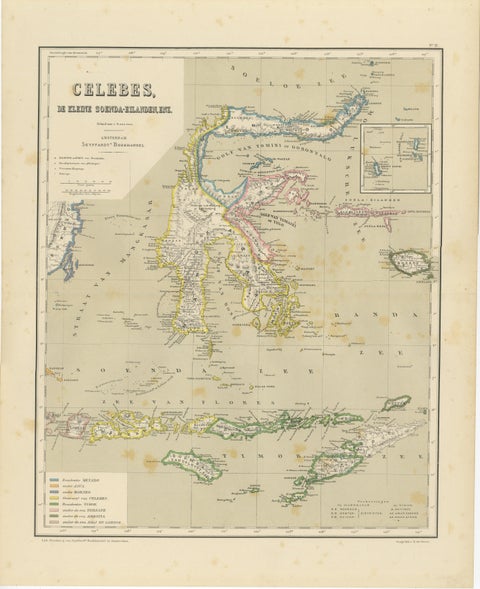
Antique Colonial Map of Celebes Sulawesi & Lesser Sunda Islands, 1884
1884 · 39 × 48.5 cm$325
Maps and Sea Charts · Celebes
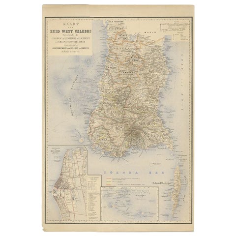
Antique Map of Southern Sulawesi by Stemfoort, 1885
1885 · 48 × 63 cm$295
Maps and Sea Charts · Celebes
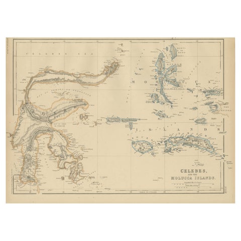
Antique Map of Celebes and the Maluku Islands by W. G. Blackie, 1859
1859 · 37 × 27 cm$225
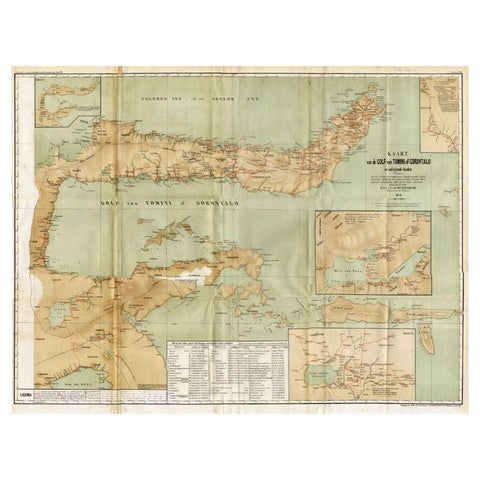
Maps and Sea Charts · Celebes
Antique Map of the Gulf of Tomini by Winkler Prins, 1878
1878 · 92 × 75 cm$205
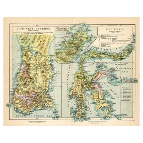
Maps and Sea Charts · Celebes
Antique Map of Sulawesi by Winkler Prins, c.1900
1900 · 31.5 × 25 cm$80
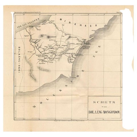
Maps and Sea Charts · Celebes
Antique Map of the Bolaang Mongondow District on Sulawesi by Stemler, c.1875
1875 · 39 × 38 cm$70