Collection
Maps and Sea Charts
Maps and charts of the archipelago from Münster's woodcut of Sumatra of about 1590 to the Dornseiffen atlas of 1884: Blaeu and Janssonius, Valentijn's island maps of 1726, Bellin and Mannevillette for the French navy, and the town plans of Batavia.
9 sheets
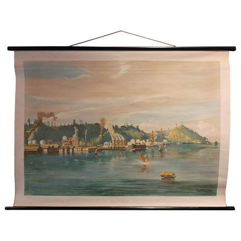
Maps and Sea Charts · Borneo
Vintage Wall Chart of Balikpapan 'Indonesia', circa 1920
1920 · 115 × 85 cm$1,120
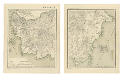
Maps and Sea Charts · Borneo
Antique Map Set of Western & Southern Borneo, Dutch East Indies Era, 1884
1884 · 39 × 48.5 cm$715
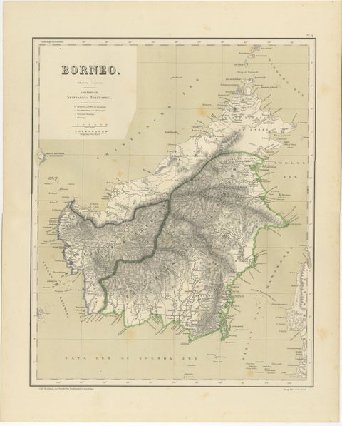
Maps and Sea Charts · Borneo
Rare Antique Map of Borneo (Kalimantan), Dutch East Indies Colonial Era, 1884
1884 · 39 × 48.5 cm$490
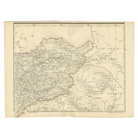
Maps and Sea Charts · Borneo
Antique Map of West Kalimantan (Schwaner Mountains), Borneo, Indonesia, 1900
1900 · 52.3 × 38.9 cm$370
Maps and Sea Charts · Borneo
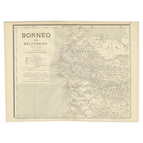
Antique Map of West Kalimantan, Borneo, Indonesia, 1900
1900 · 51.5 × 38.9 cm$290
Maps and Sea Charts · Borneo
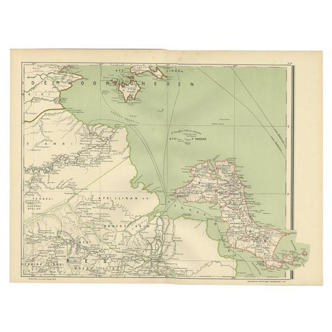
Antique Map of the Region of Banjarmasin, Indonesia 1900
1900 · 53.1 × 38.9 cm$245
Maps and Sea Charts · Borneo
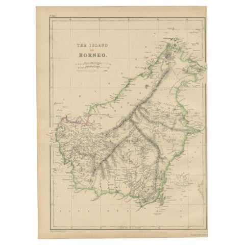
Antique Map of the Island of Borneo by W. G. Blackie, 1859
1859 · 27 × 37 cm$225
Maps and Sea Charts · Borneo
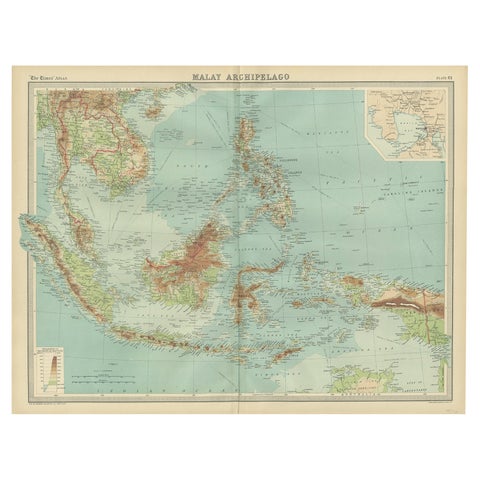
Old Map of South East Asia Showing the Malay Archipelago, incl Borneo etc, 1922
1922 · 59 × 45.5 cm$215
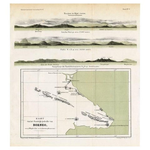
Maps and Sea Charts · Borneo
Antique Map of Eastern Borneo, Indonesia with Views of Mountain Ranges, c.1875
1875 · 24.5 × 27.5 cm$200